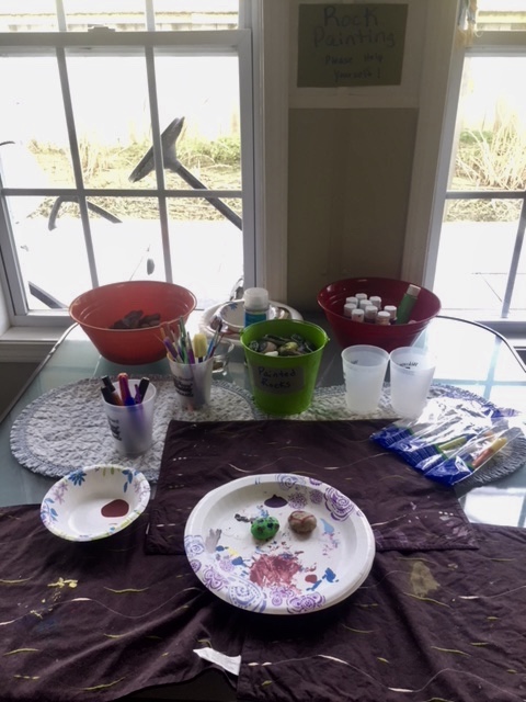
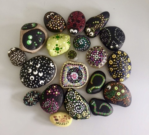
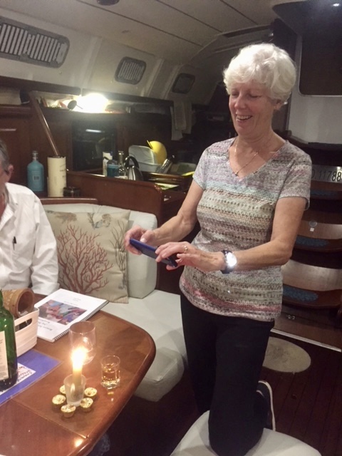
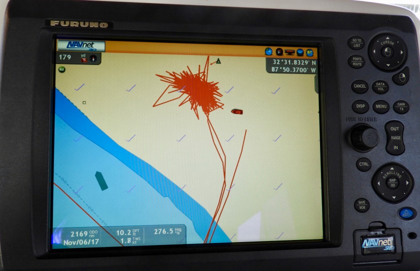
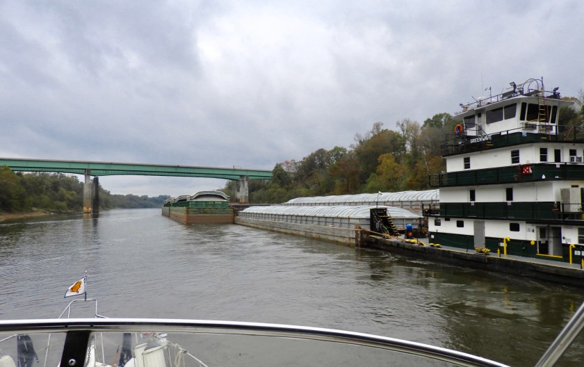
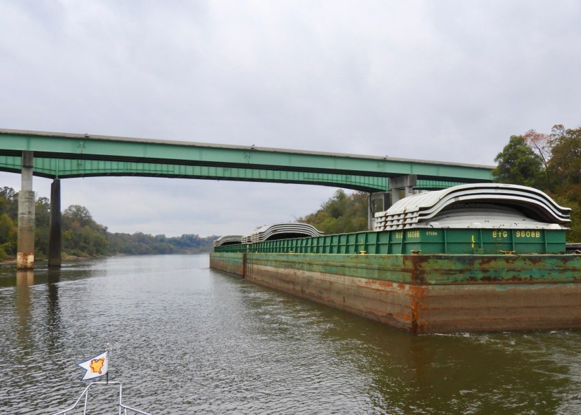
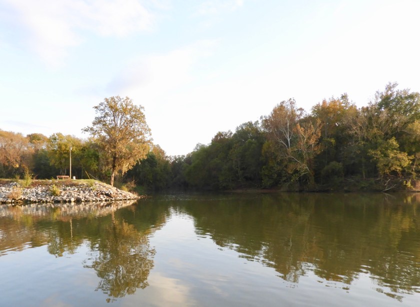
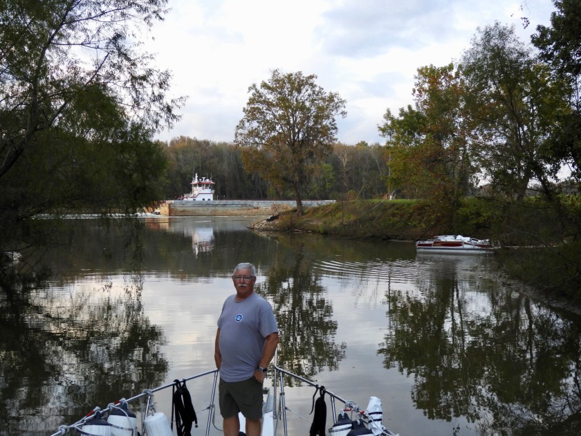
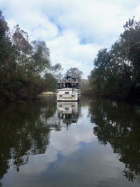
Nov 4: We stayed in Demopolis until the morning of the 7th. This is a cotton field next to the marina. Borrowed the courtesy car to get groceries and did a variety of boat projects. People doing laundry at the marina lounge could entertain themselves painting rocks at the “Rock Painting” table. A Looper named Lesli painted all but one of these rocks. Such cool dot art. I painted the love bug at the bottom, yellow rock. Nov. 5: Hal and Terri caught up to us and it turned out to be her 65th birthday. Since I only had an hour’s notice (and I’m not exactly Betty Crocker) I created a “cake” made out of 6 peanut butter cups surrounding a shot glass with a candle in it. She loved it. Tonight’s song fest included my revision of Kenny Loggin’s “Watching the River Run.” Picking through the new words. And moving on to other songs… Friends of the Wells’ Laurie and John from Vancouver joined us. John’s ability to play harmonica was a nice addition. Nov. 6: We were under a metal roof for three days, days one and two – no changes to our tracking system. But day 3 – our tracking system went crazy again, this time adding 33 miles to our trip odometer. (And again, our Furuno system doesn’t include this marina, looks like we are on “the hard.”)Saying farewell to the Wells. Not sure when we’ll see them again, they cross their wake in Mobile, about 200 miles away. A snowy egret stands guard….at the Great Gates of Kiev (aka the Demopolis Lock).A Catalina 30 exits the 40 foot lock, only one more lock to go through on the Tombigbee Waterway. Variation on a theme… we learned that the white cliffs are mainly chalk. Overtaking the tow Greenwave…aptly named…looks like matching green steel beams. Going by the remains of the Rooster Bridge which was removed in 1979. A few months before its removal a tugboat named Cahaba went sideways under the bridge in the great flood of April 19, 1979 when the river was a record high of 24 feet above flood level. In 2002 the film of this happening went viral on the internet. If you YouTube “tug under bridge” it will come up. Fortunately the boat along with the 3 crewmen survived relatively unscathed. Came upon this tow stopped perpendicular in the river. A few more barges were being added to the tow (why here? not sure!). So we had to wait about 45 minutes before being allowed to pass by. The boat ahead of us is the 46 foot version of our boat. Using the telephoto lens we could see a worker bee using a ladder to get to shore…so he could tie off the tow (currently 8 barges with two more being added). Wow! is that sapling really going to hold a gazillion tons of loaded barges? But moving on, we noted these depth gauges. The depth of the river constantly changes but is relative to “normal pool.” (whatever that means…must be similar to the “normal” setting on the washing machine.) Then we entered the “oxbow” territory. The distance from one shore to another was sometimes only 1/2 mile, but would take 5 miles of river to get there.
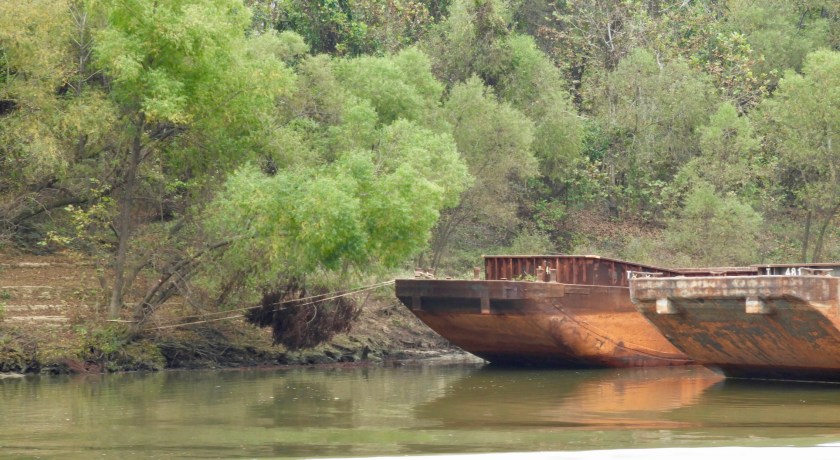
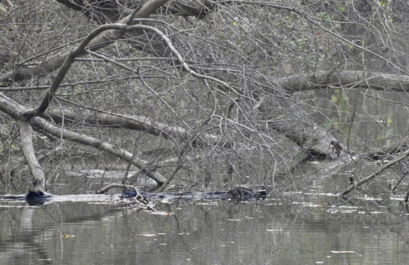
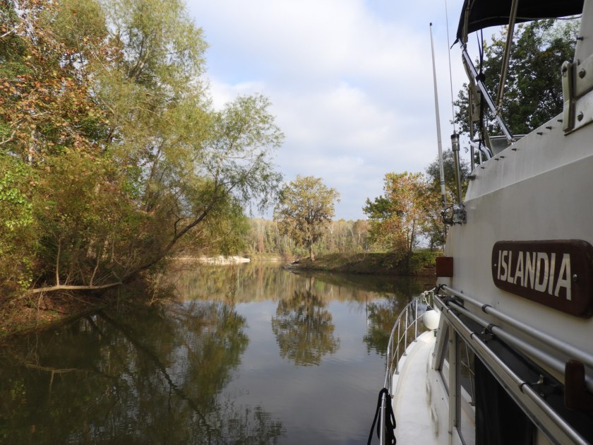
And in 5 miles we could point east – south – west – north – repeat. Anchorages continued to be sparse – this was one of them – simply anchor on the shallow side of the reds, at the top of a bend … no thank you!We opted to try Bashi Creek instead.Which on the chart appeared as Basin Creek. Bob had to back in. Then we launched the paddleboard and I secured the boat with lines to trees on both sides. Much easier than setting a stern anchor. Bob checking out the anchorage with a tow going by. Glad to be out of the channel for the night. We heard owls hooting but didn’t see them. At least this kingfisher lit long enough to be photoed. Guidebook said there were alligators in this creek and we thought this was one…turned out to be a log!Nov. 7: Morning light in our backyard. (Reminded me of a Linda Madin pastel). Launched the paddle board to take a ride and also to release the lines. No cell service here so I took the hand held VHF.I paddled upstream for almost a mile, eerie but cool at the same time, glad I didn’t see any alligators or snakes. Good to see Islandia on the return trip. Water level went up about a foot overnight so I didn’t have to go ashore to undo the lines, just had to tuck under all the branches (and hope there were no spiders). On the road again…next up is Bobby’s Fish Camp, only about 30 miles away.