
Dec.19: Got a delayed start to the day awaiting the tide to come up so we could exit the narrow inlet to the Port Sanibel Marina. The first part of the Okeechobee Waterway (OWW) is busy with marinas and manatee slow down areas. Bob loved this marina we passed by because it advertised a “Drive In Boat Wash.” (I can see our daughters rolling their eyes).

The first of the locks is only a two foot rise. The OWW has a different system of locking – no valves, they just crack the door open a bit!

Even though its just 2 feet, there was still quite a bit of surge. For fellow boaters: position yourself mid lock and hold on tight to the ropes!
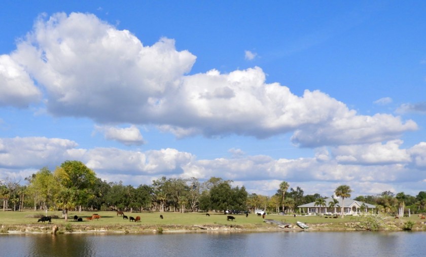

Passed by several farms.
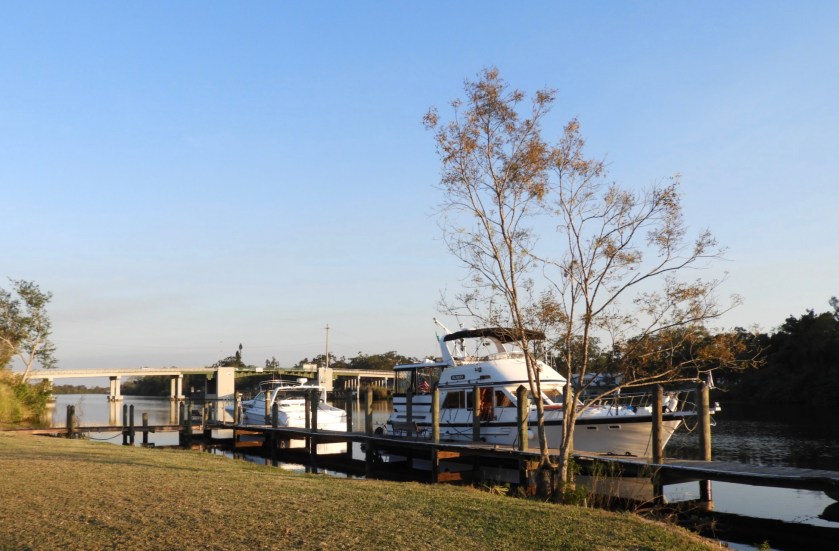
Got as far as LaBelle. There are better marinas after this bridge but since we didn’t require any amenities for the night we stopped at this River Motel Dock. Just enough room for us between two liveaboards. We needed converters to plug into their 110 system. BTW, Bob and I passed over this bridge several times last spring when we visited my cousin in her RV just up the road from here.
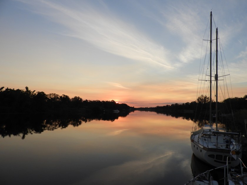
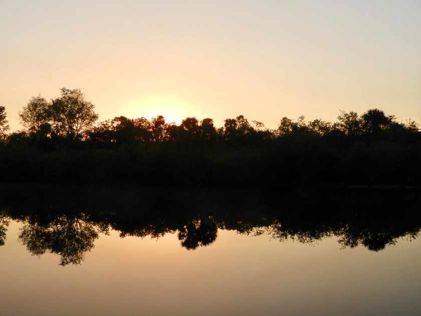
Enjoyed a nice sunset and pleasant visit with the folks on the liveaboard sailboat ahead of us.
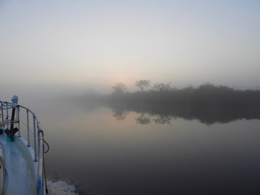
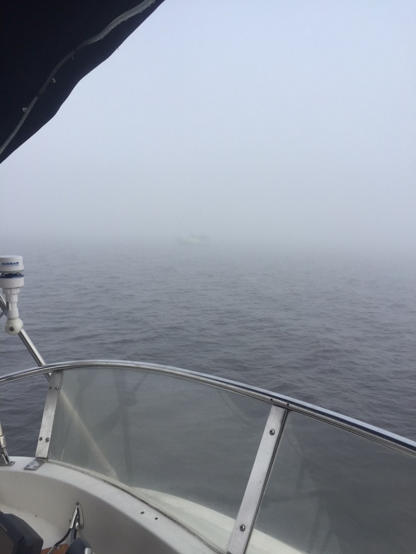
December 20: FOG!
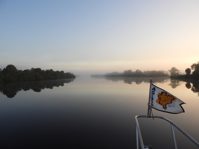
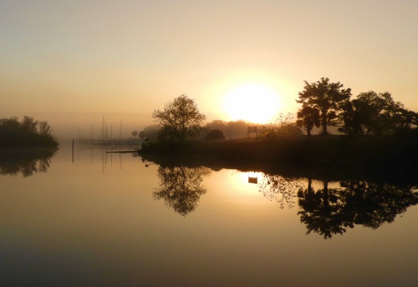


Lots of fog photo-ops along the way. Heading into the next lock, at least it was visible!

Preening eagle through the haze.
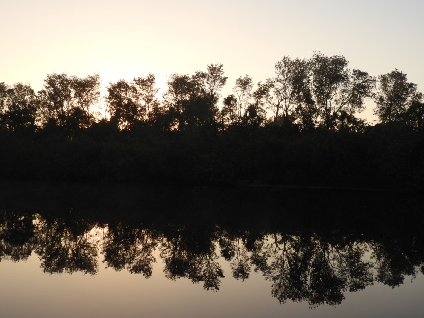
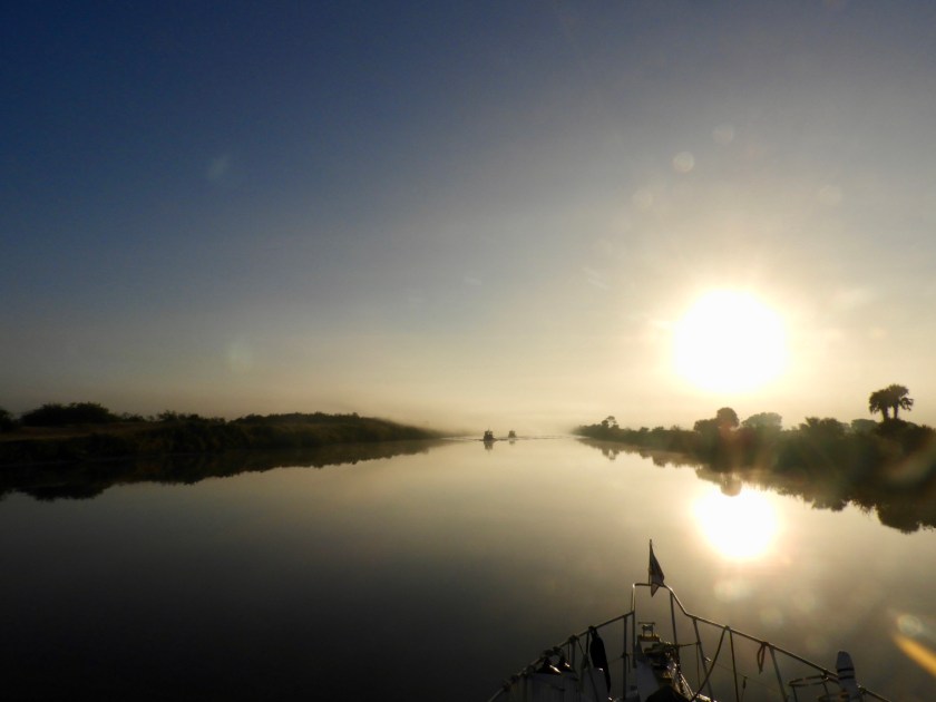
Finally the sun burned through the fog – much better!

Sunflakes!

Boat storage facility. A good place to keep your boat.

Per lock master, this is a controlled sugar cane field burn.

Our first alligator sighting turned out to be two alligators!
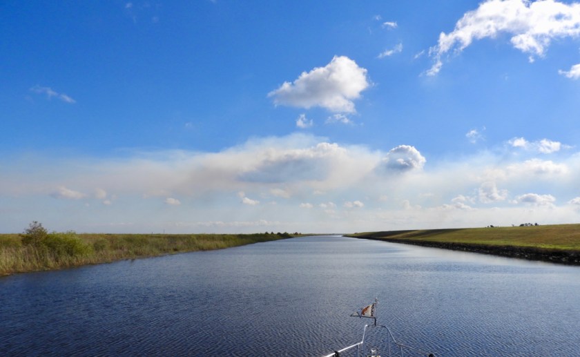
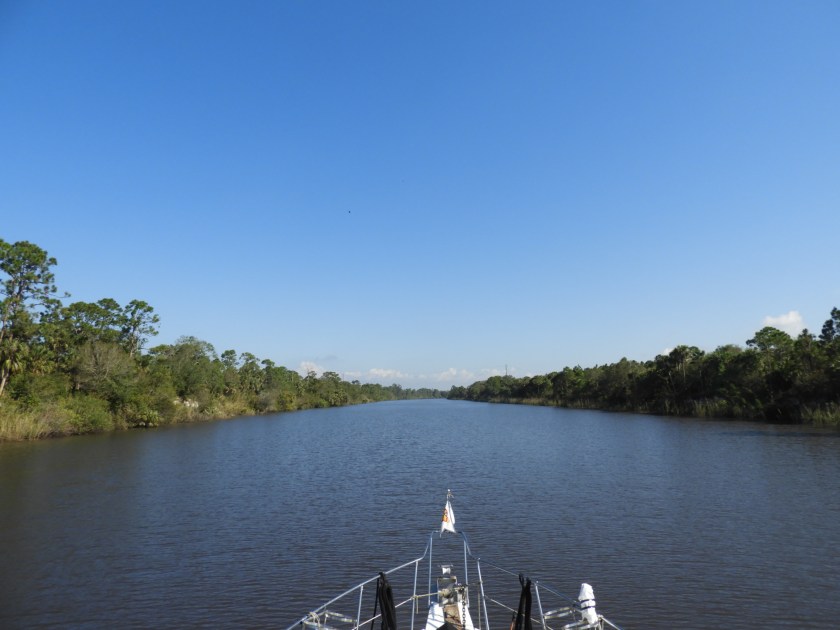
OK this part of the OWW was a little dull, but at least you could steam along to Clewiston.

At this point – Clewiston – you can turn 90 degrees to the south to go through a one foot lock into Clewiston, go straight (west) to go along the Rim Route of the OWW or…

turn 90 degrees to the north (and then east) to go across Lake Okeechobee. We opted for Clewiston since the next available marina about 30 miles away and they didn’t have room for transients.
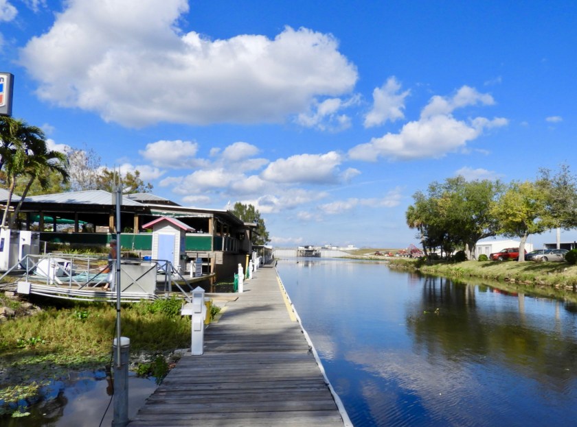

Narrow fairway from the lock to Roland Martin’s Marina. It’s actually advised to turn around after exiting the lock and back into the docking area. We were able to turn around just ahead of the dock the next morning without a problem.
Typical mileage signage – I was surprised to see NYC being only 1050 miles away.

Handy weather sign. Probably more accurate than most of the weather forecasts we’ve seen.

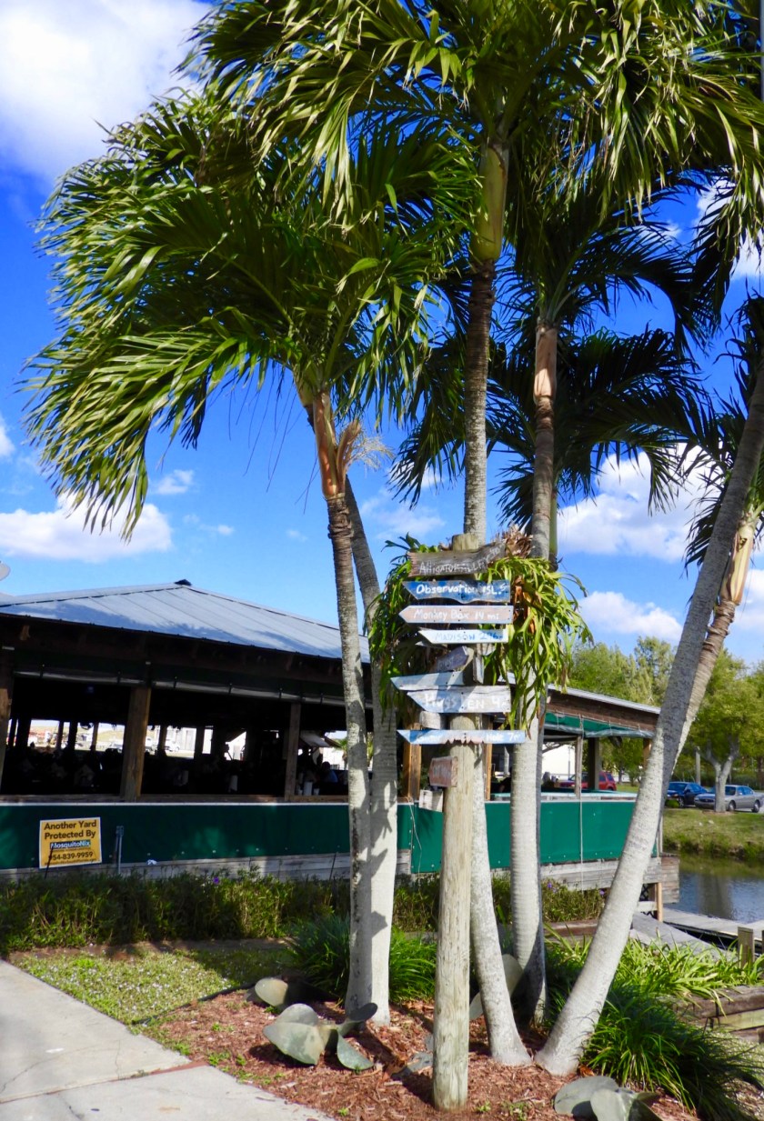
Impressive display inside the nearby gift/clothing store. This marina offers also offers a Tiki Bar with fairly decent bar food, showers and laundry. Otherwise, not much else to see/do. We were quite content with the Tiki Bar.
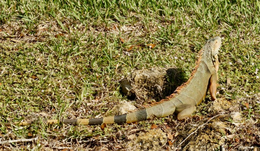
Nearby iguana sunning himself.

Dec. 21: Left early as usual into a bright beautiful day….
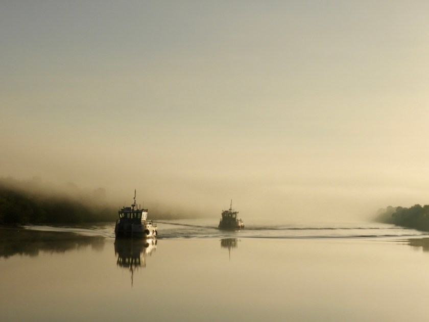
Until the fog set in about 30 minutes later. The Radar definitely paid for itself today. You can barely see the sailboat passing us (just to the left of the center of the horizon).
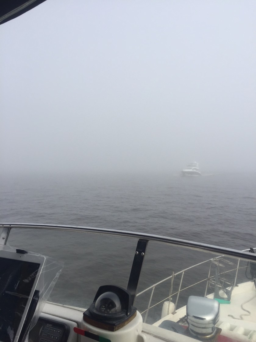
This boat was a little more visible. A third boat passed by – but we never saw it – only on Radar. Scary!
Leaving the Port Mayaca Lock which we barely saw and entering the OWW St. Lucie canal.

Looking back at the fog bank.

Power eagle.

Immature tree eagle.
And then just like that – no more fog! Another long stretch of no slow downs.

Going by the narrow inlet to Indiantown, another popular place to leave your boat.
Awaiting the green light for the St. Lucie Lock. This lock drops you 14 feet. Hang on to those ropes as they crack the door open!

Storage marina for the big boys.

I’ve been on several portions of I-95, but this is the first time I’ve gone under the highway.
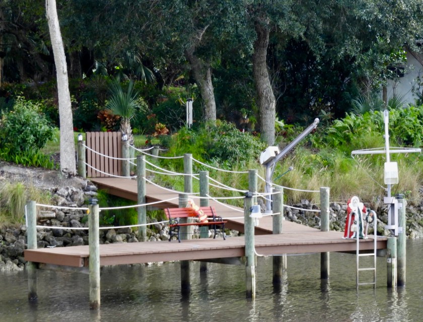
Christmas decorations – hard to believe Christmas is just a few days away!

Approaching the end of the 145 mile long OWW there are several slow down areas and beautiful homes.
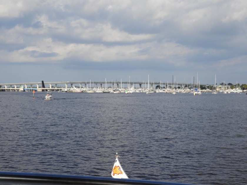
Approaching the last hurdle to this segment of our journey – the blue Roosevelt Bridge and nearby rusty Railroad Bridge. This bridge connects Jensen Beach with Stuart and Port St. Lucie. The Roosevelt Bridge opens on demand – as long as the RR bridge is open.
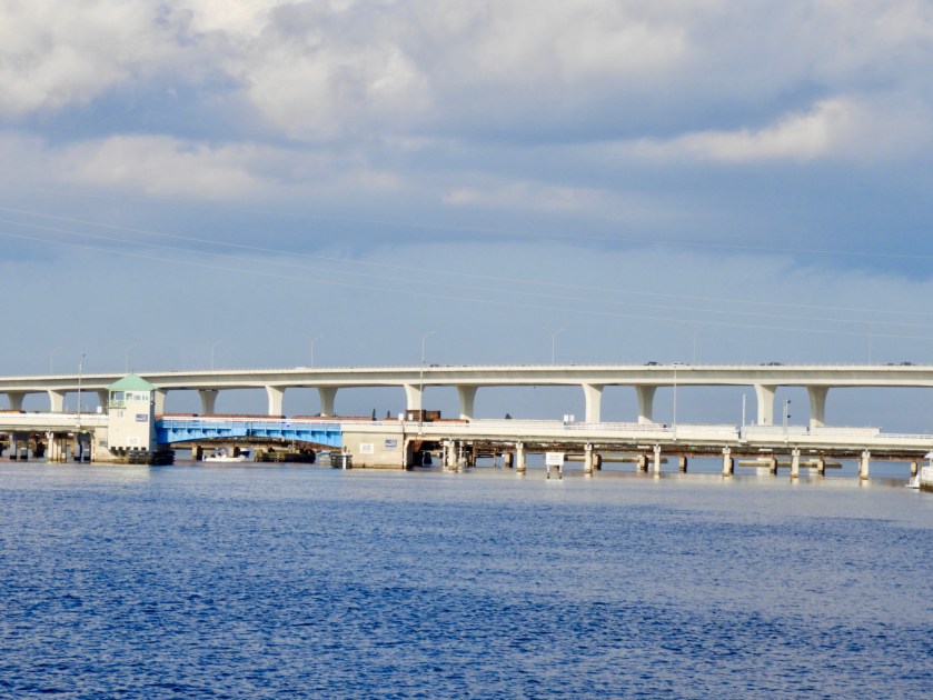
Just as we were about to hail the bridge tender the RR bridge went down – had to wait 30 minutes for the train to arrive and then cross. In the meantime we noticed the nearby Sunset Marina was selling diesel for $2.58 – that’s a good price!

Finally – the bridges opened. At this point we are only 7 miles away from crossing our wake. We decided to stop short however and we exited the OWW a mile short of where the OWW ends at the St. Lucie Inlet and crosses the Atlantic ICW at approximately MM 897.

To our delight my sister Deb and her man friend Jim greeted us at the opening to nearby Manatee Pocket (where Jim keeps his boat). It was great fun to have a welcoming escort to our anchorage for the night (and the upcoming days).

Dec. 22: On shore with Deb and Jim and Jim’s Harley (and me reflected on the oil pan cover). So sadly/happily we are just about at the end of our Great Loop Adventure. One more short chapter to post as we plan to cross our wake on Dec. 24th.
