J


J

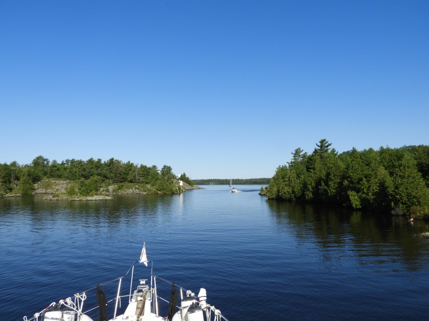

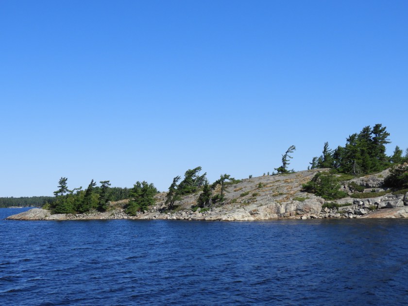
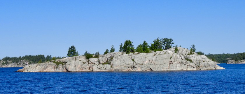


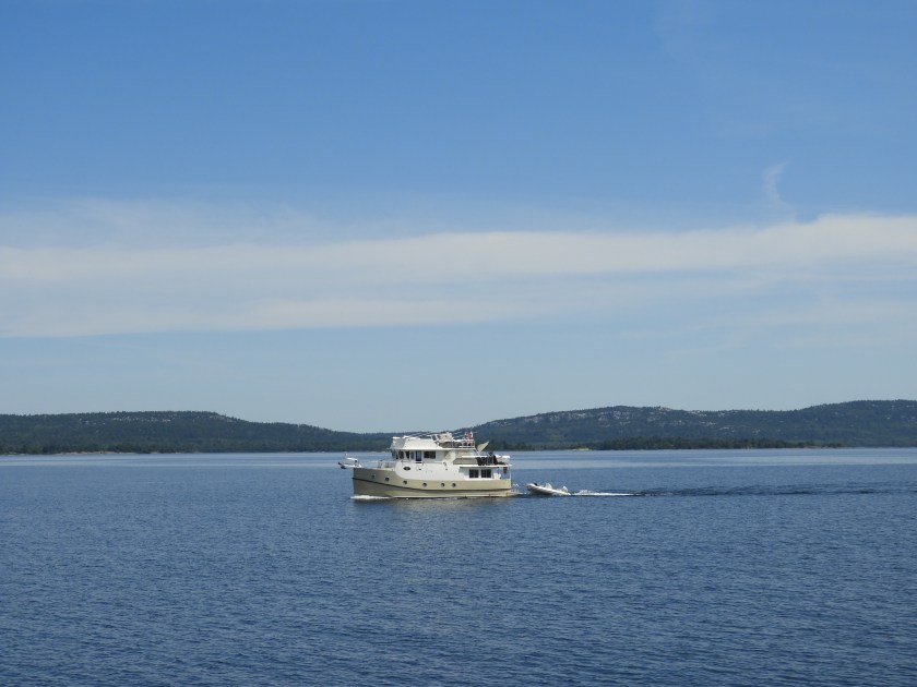


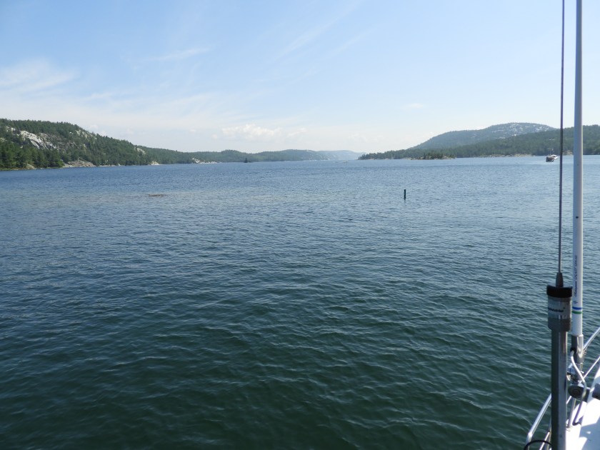
Heading out of Baie Fine on July 22.

The helicopter is still busy.
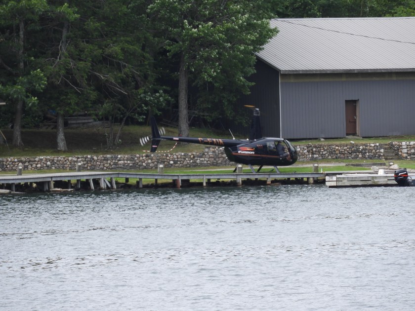
Landed at the Okeechobee Lodge. This is now a private lodge for local cottagers.
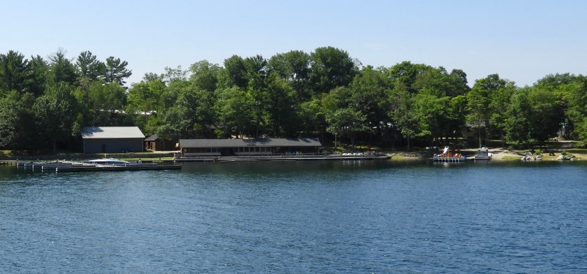
Swim area for the lodge.
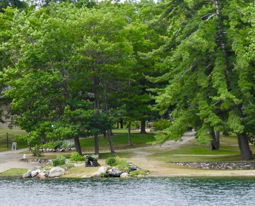
I guess this canon means they are serious about their no trespassing sign.
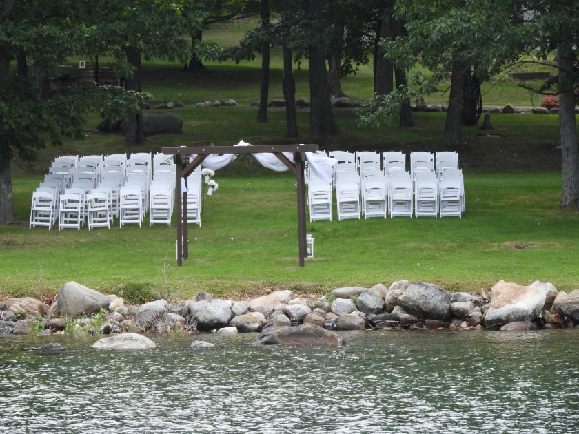
All set up for a wedding, perhaps the helicopter pilot was bringing in guests.

Lunch stop in Boyle Bay on Badgeley Island.
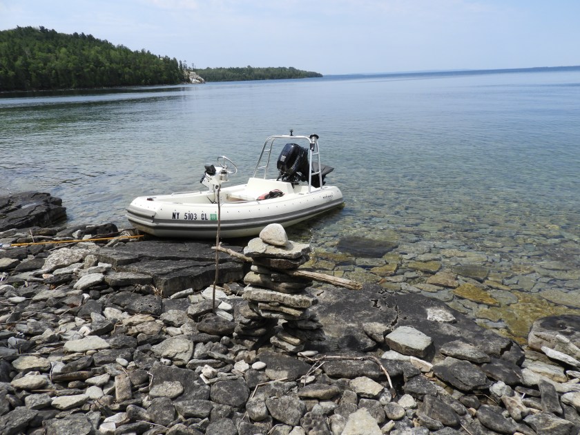
Went over to nearby Mayes Point.

Guidebook said there were fossils in nearly every rock.


Guidebook also mentioned there were several rocks with bear claw markings (apparently bears need to sharpen their claws). We found several rocks with claw marks, creepy!
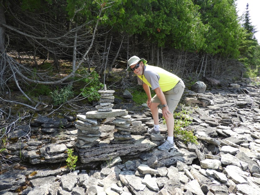
Hal building his own Inuksuk (a First Nations type of rock formation).
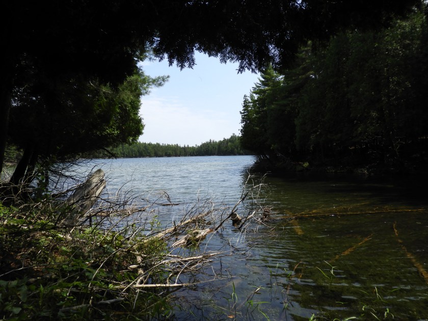
We also hiked into Devil’s Bay lake. The local mosquitoes took their daily dose of blood from us so we didn’t stay here too long.

Back at the boat, here’s my stash: quartz, black rock with bear claw markings, random orange rock (granite?) and a flat piece of limestone etched with fossils. Bob is so thrilled that I’m bringing rocks aboard.

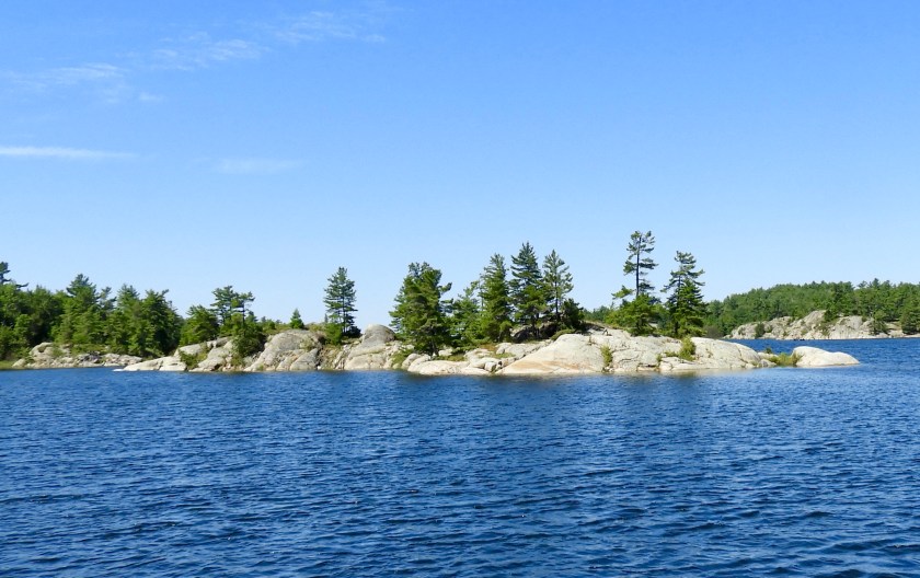
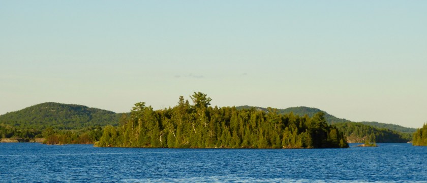
After our exploration we up-anchored and moved over to a more protected bay off Heywood Island.
Scenic view from the anchorage.
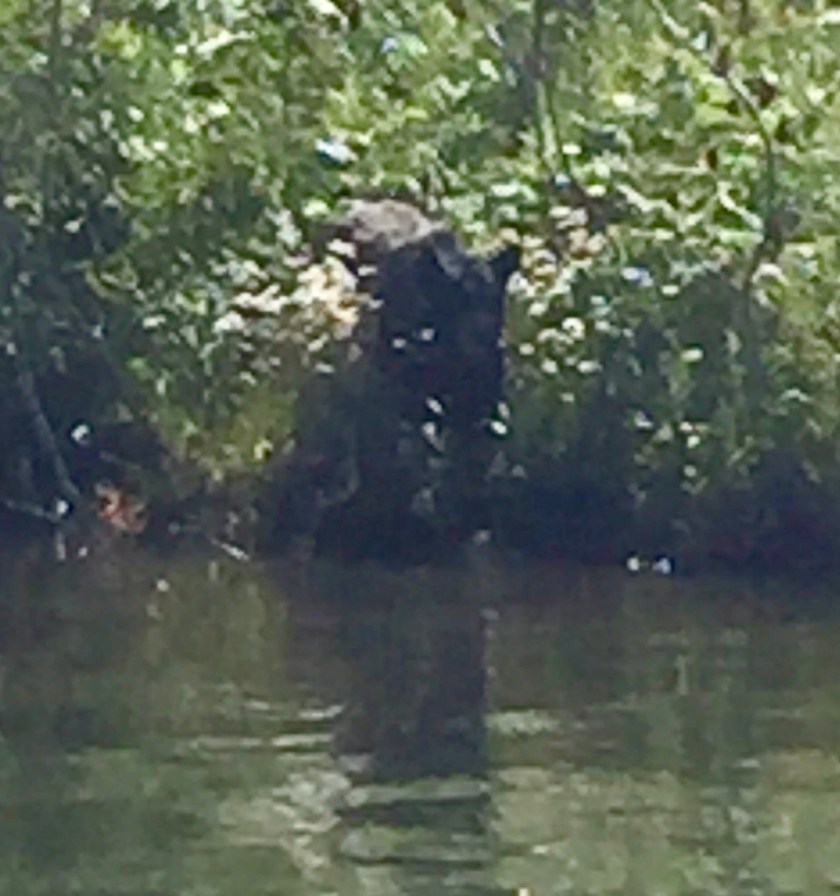
During cocktail hour we went on a wild goose chase. What we thought was a bear swimming across the channel (they do that around here) turned out to be a gigantic beaver. One cocktail too many?
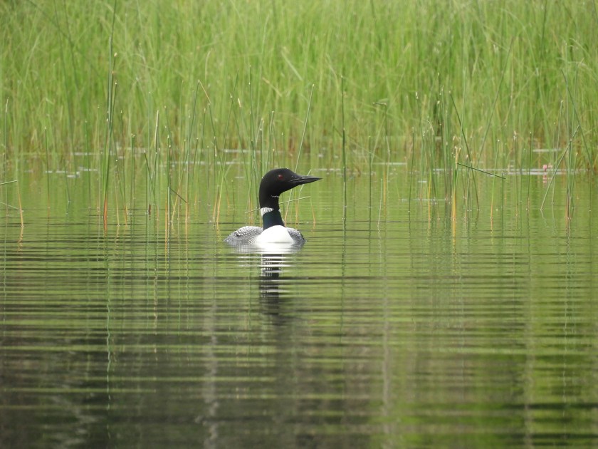
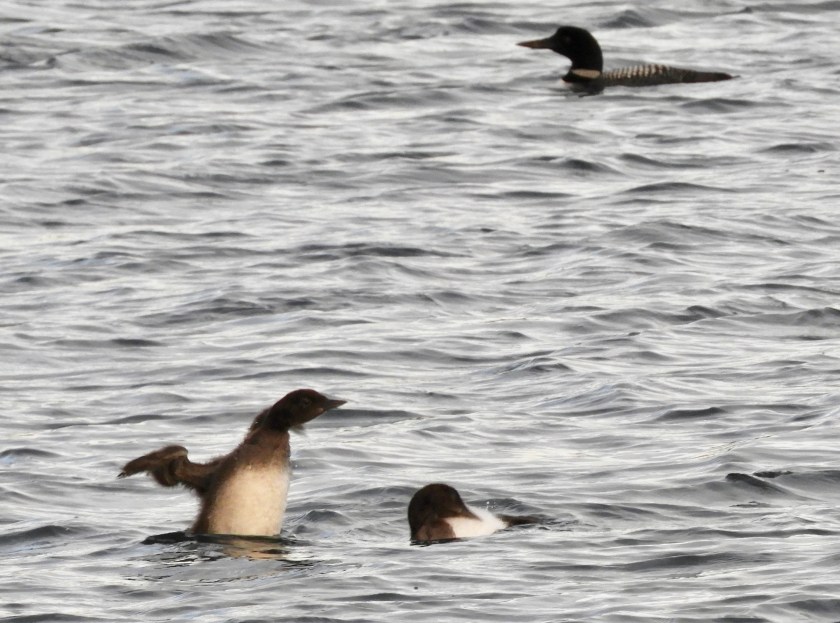
Well at least I got a good shot of a loon!

We met the folks on the ketch. Their boat is named Adanaco which is O Canada backwards. They gave us lots of advice for cool anchorages to the west of us. Bob graced them with his a cappella rendition of O Canada. They were impressed he knew all the words.

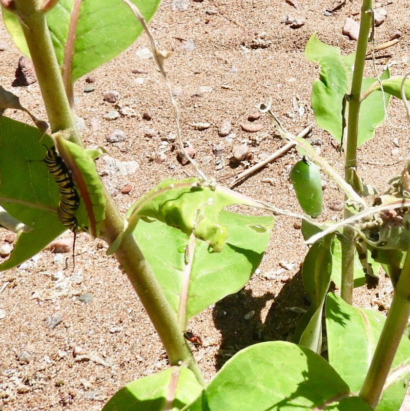
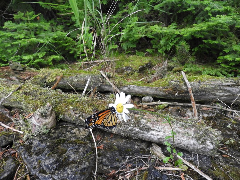
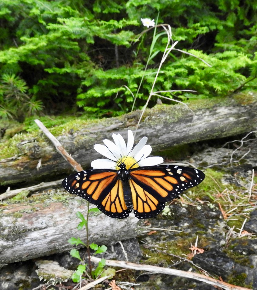
Apparently butterflies like our boat. This Red Admiral flew into the main salon. Didn’t take too much coaxing to get him to fly out of the boat.

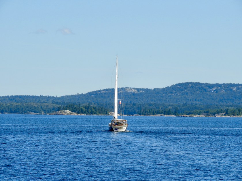
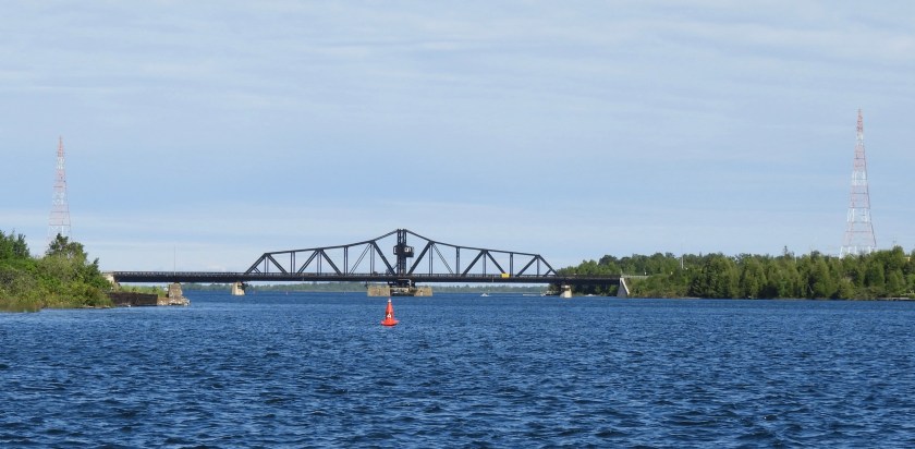
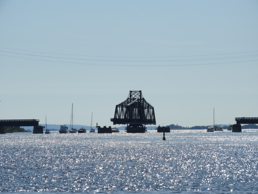
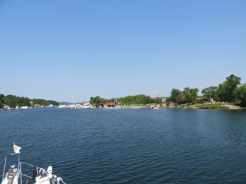
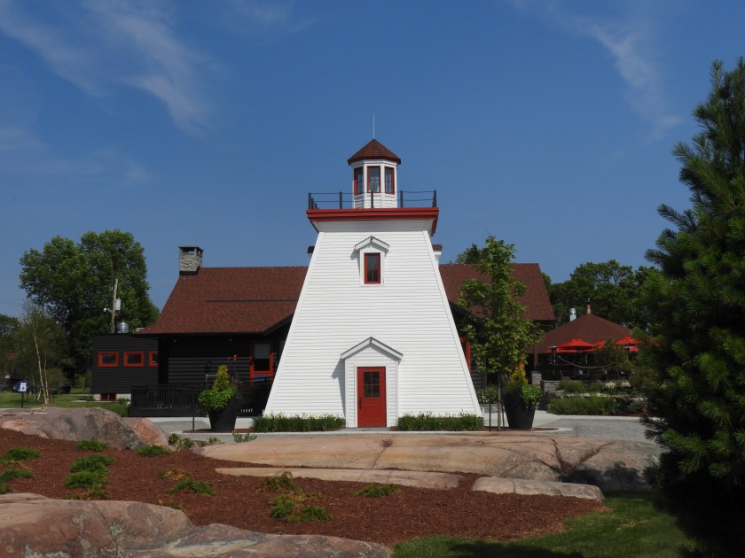
On July 23 we went by Strawberry Island Lighthouse on our way to the town of Little Current.

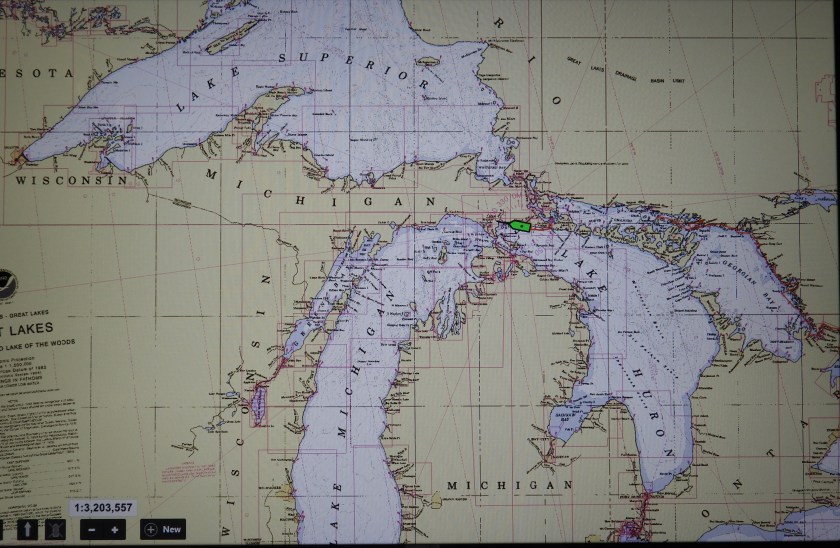
So on the placemat of life, the picture of the lighthouse points to where we are now. We’ve done the right hand side, and now half way down the left side.
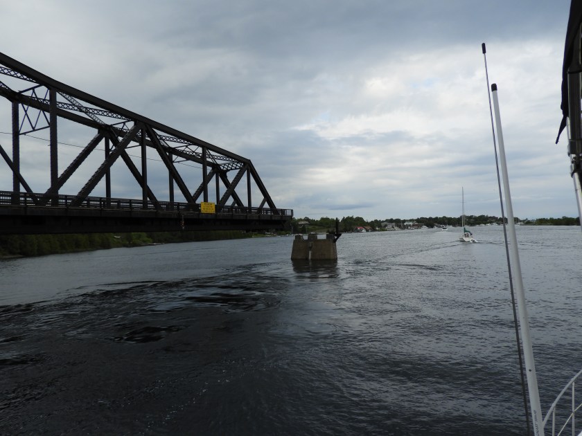
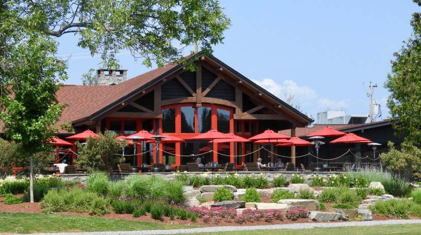
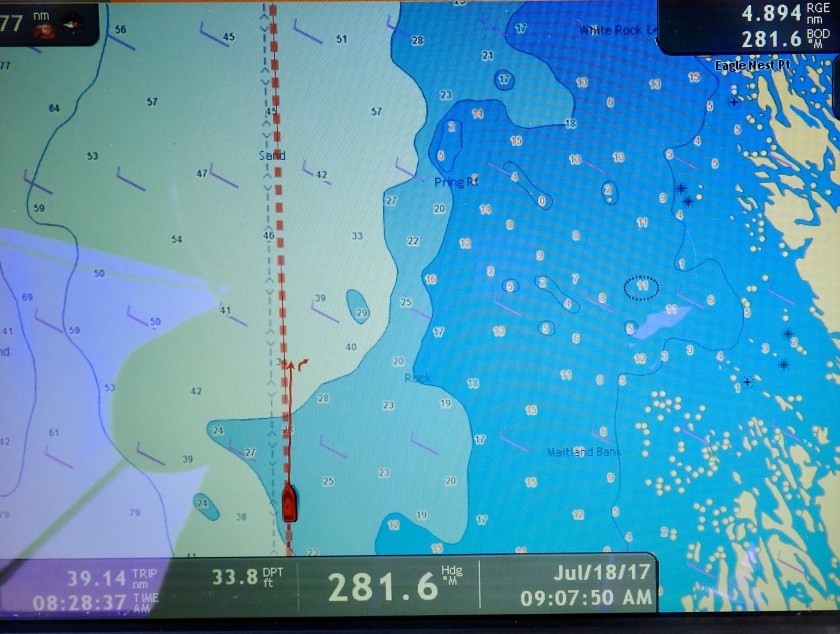
Going by the Little Current swing bridge. Even though the North Channel is not a river, there is a peculiar current that funnels through here. The current direction is dictated by wind direction – but in a random way. The winds were NNE as we went by, but the current was running west to east. After we docked and the wind was still NNE, the current ran east to west – and at a pretty good clip. Made for interesting docking to have a strong cross current. Once again we are very thankful for the bow and stern thrusters. Today is as miserable as this picture looks. Lots of storms passing through. We were able to get docked, do laundry and re-provision before the skies opened up.

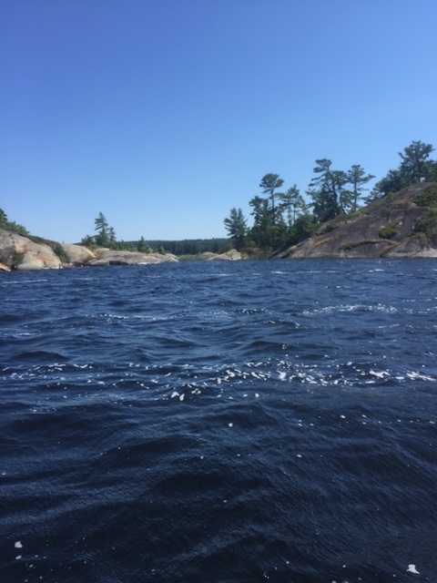
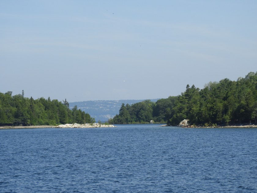
Chart 2205 has been my favorite chart so far. We’ve gone from Killarney to Little Current – a distance of only 22 miles over a 5 day period. Weather until today has been fantastic and we’ve really enjoyed the “gunk holing” along the way.

Purist leaving Covered Portage Cove on July 21, 2017

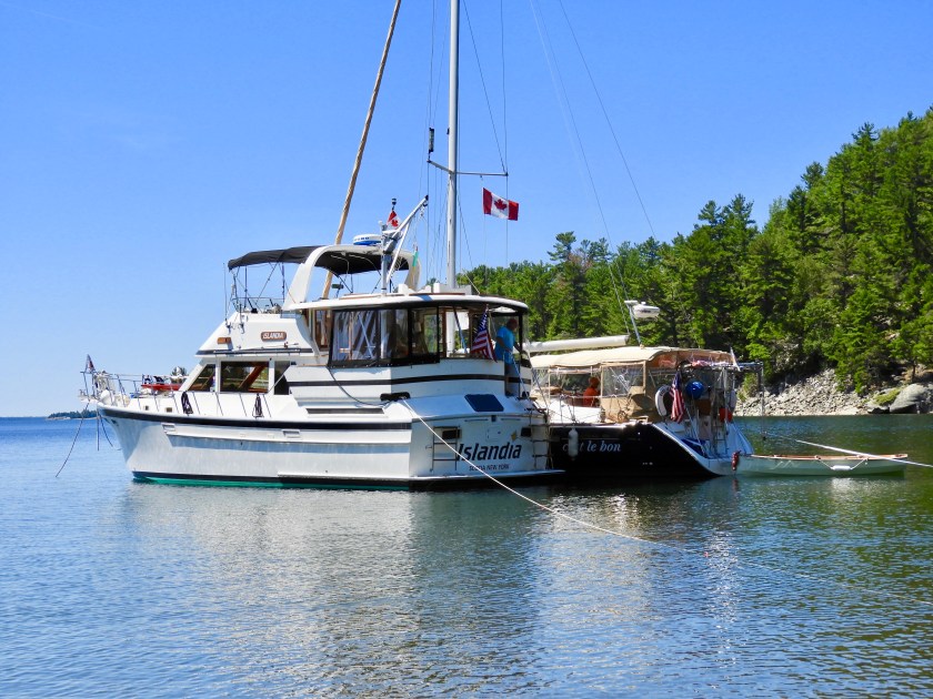
C’est le bon’s turn.

Now our turn.

Going by a quartz quarry.

This is an Alberg 30, same boat my Uncle Alden had. Brought back fond memories of traveling to Maine with him in 1972. Unfortunately he passed away in 1975, way too young at age 60.
“Hole in the Wall” short cut to our ultimate destination today. We decided not to chance putting a ding in the props and stayed in the main channel.

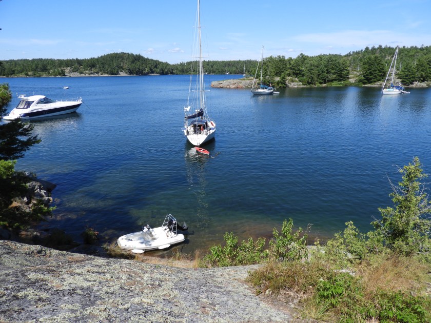
Entering the Baie Fine fjord leading to an anchorage called “The Pool.” This helicopter was in and out of the nearby Okeechobee Lodge several times as we went by.
The channel continues between a rock and ….

a hard place.

Saw this random person on a rock, pretty much in the middle of nowhere.
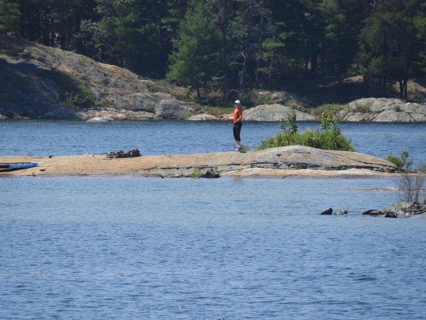
Turns out it was either Jane MacLaughlin who arrived by her paddle board…

or Steph Malcom jump roping.

Another 5 miles or so to the anchorage. (As the crow flies our destination was only about 4 miles away, but by boat, it was a 23 mile passage).

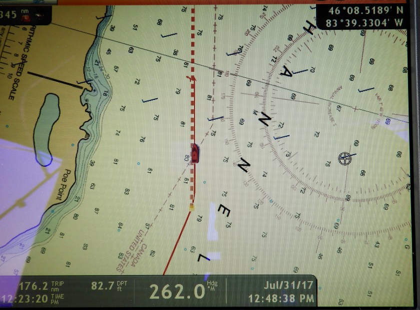
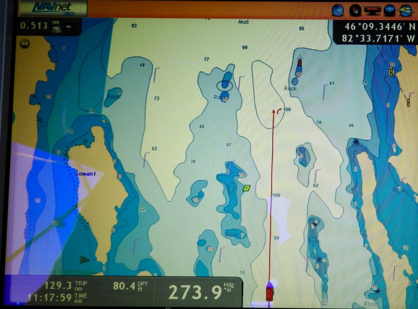
Sometimes the accuracy of the GPS/chart plotter is a bit off. Here we are going over an island.

Here’s the island! No hint of Islandia tracks going over it!

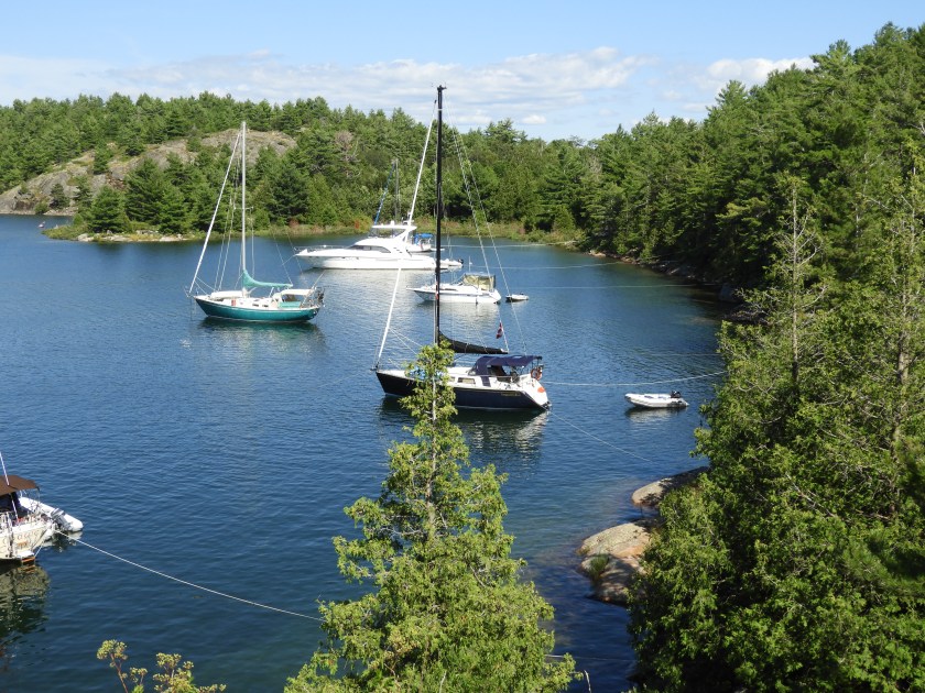
At anchor. Later there were about 12 boats in this “pool.”

We hiked up to a small lake, Lake Topaz. Possibly Lake Turquoise would have been a more apt name. It was just beautiful!

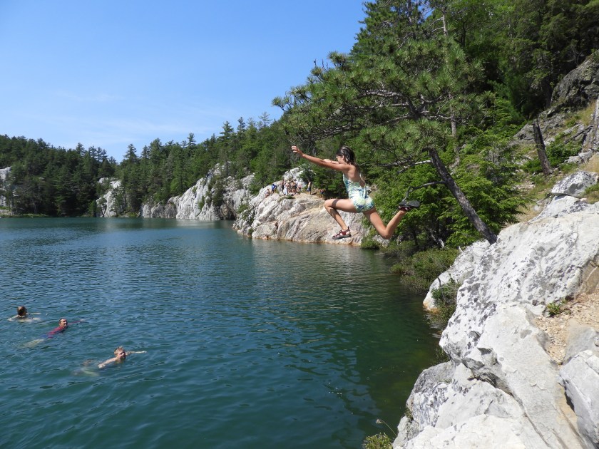
A group of cliff divers, they had even brought up a fairly large beer cooler. Kudos to them, the trail into the lake was pretty steep.
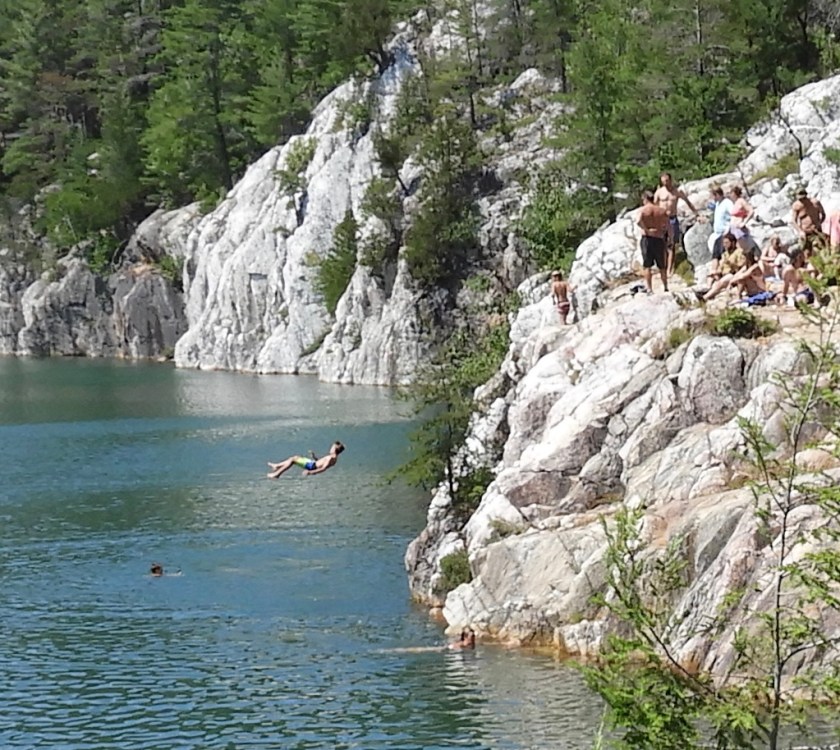
Looks like a disaster, but he somehow managed to go in feet first.

This kid was beckoning his brother to join him.
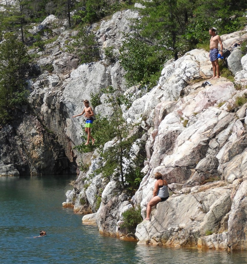
So his brother walked out on a limb and does just that.

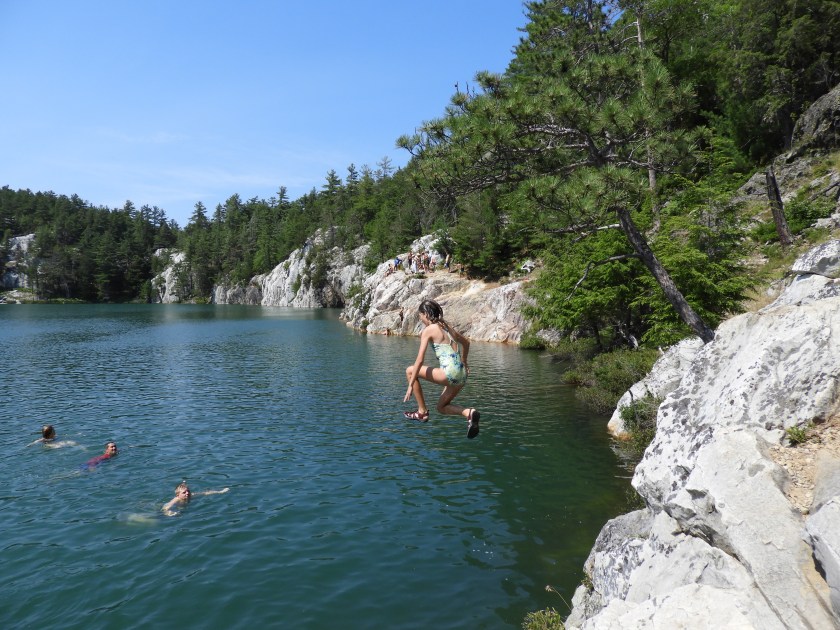

Where was this camera when my sisters and I (and many friends) used to jump off the back side of Endymion? Fun times!

Terri taking a dip.

And then me, back at the anchorage. This day really felt like how the first day of summer should feel. Only a month off!
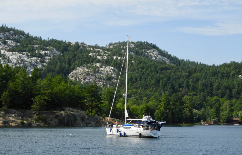
Sister ship to my sister Denise’s boat. Just needs a maroon hull.
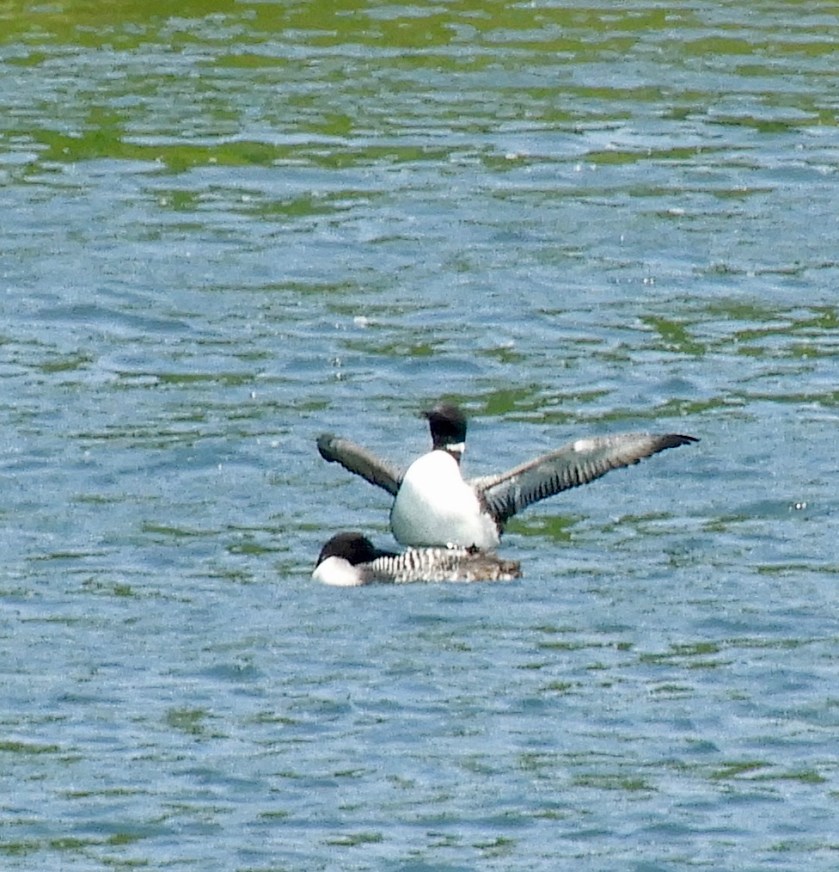
Fuzzy picture, but the scene cracked me up. Looks like the loon is saying “Really honey, the fish was this big!” And Honey turns her head in disdain…
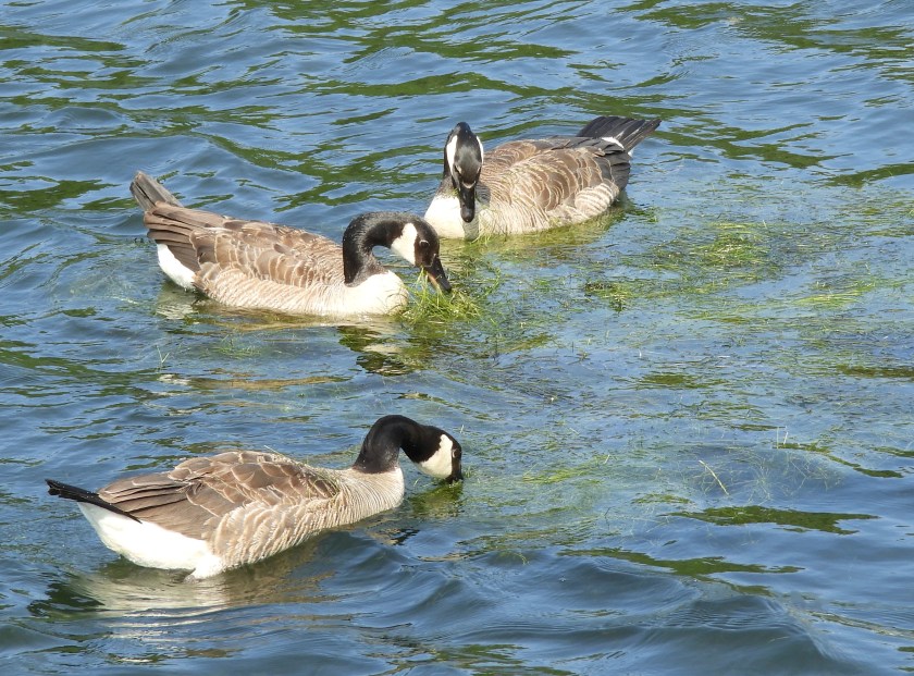

These geese delighted in eating the seaweed we pulled off the anchor chain. First harbor we’ve had with weeds to deal with when anchoring. Glad I brought the potato rake. Took awhile to haul up the anchor the next day.

Leaving Killarney en route to Covered Portage Cove. This lighthouse on Partridge Island happens to be the little lighthouse in the bottom corner of the Facing the Door painting I liked so much.
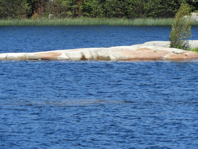
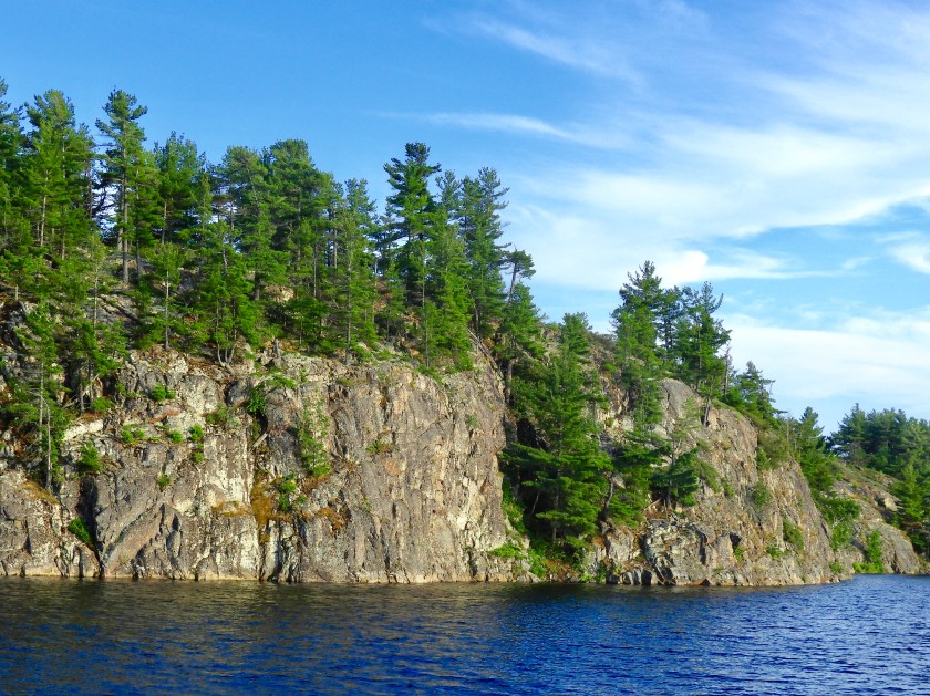
No more pink granite, but certainly lots and lots of quartz.

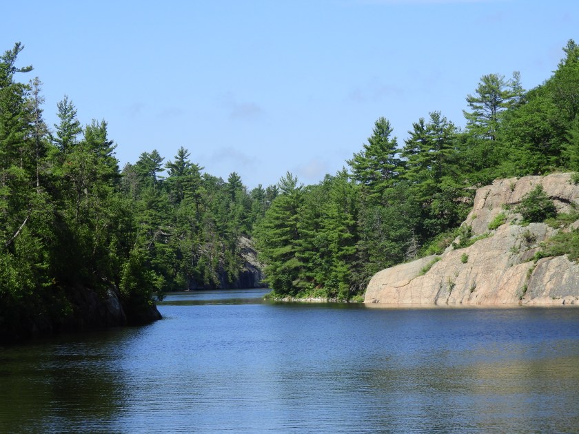
The narrow entry in yet another hurricane hole of a cove.

The Manatoana of Covered Portage Cove (only not quite as majestic)

Supposedly there is an outline of an Indian face in the rocks, didn’t see it entering the cove.
Sailboats anchored in zero feet of water per chart. Guess the locals know where to go!
A bluff we decided to climb later in the day.

Closer view of the cairn atop the bluff.

This anchorage is a popular spot for local boaters.

Looking back at the narrow entry.

Anchored well into the cove. The triangle next to us represents the AIS symbol for the boat we’ve been traveling with. For those of you trying to find us on AIS, look for C’est le Bon MMSI#338149414. Since they transmit from atop a mast, their signal is better. Ours seems to have a very limited range.

Just about to the top of the bluff.

Made it!

From the cairn’s viewpoint.
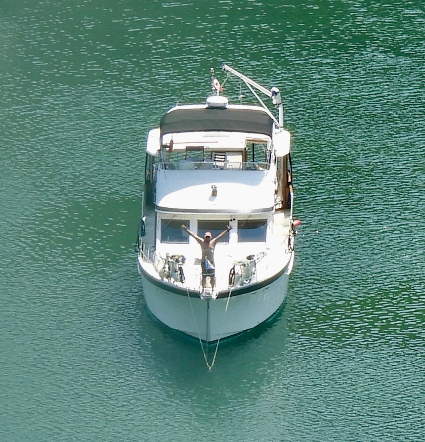
Bob on deck, looks like he’s just wearing a flag today.

Bob out for a paddle board trek.

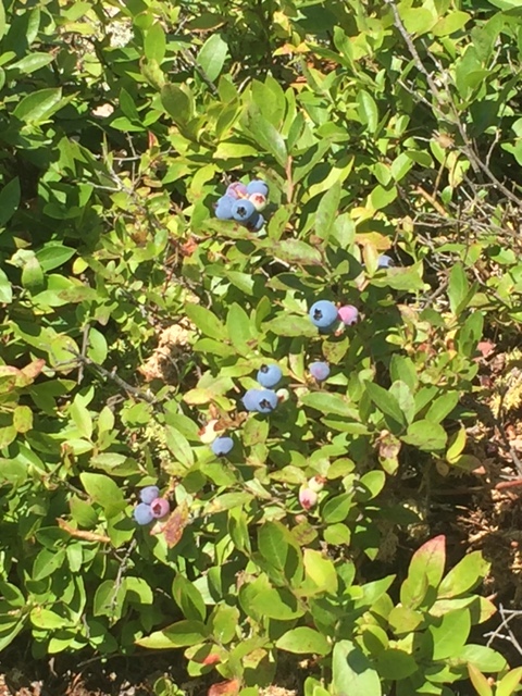
Meanwhile Hal, Terri and I picked blueberries.

Aussie Bob coming back to pick us up at the trail head.

Blue heron on guard. Later in the day we saw our first bald eagle of the trip.

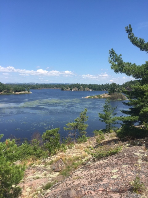
Another view of the bay and the top of our hike.
Later in the evening (sun still setting after 9, this was at about 8:30) I took the paddle board back to the Indian Face rock cliff. With different lighting and a different angle I could see the face. Forehead and eye are above the tree line, nose is at the tree line. Apparently he has lost some of his jaw over the years.


 July 16th was rainy, windy and cold so we stayed put in The Flower Pot Anchorage. Finally around 5pm the rain let up enough to launch our dinghy and explore more of the Henvey Inlet. Came across this loon family.

 Our friends Hal and Terri aboard C’est le bon arrived later in the evening. Enjoyed a fairly decent sunset and another musical evening with them.
 July 17 was bright and cheerful. Noticed this rock carving across the bay.

Closer view, not sure how old this is, but likely hundreds, if not thousands of years old. I decided it means “good fishing.”

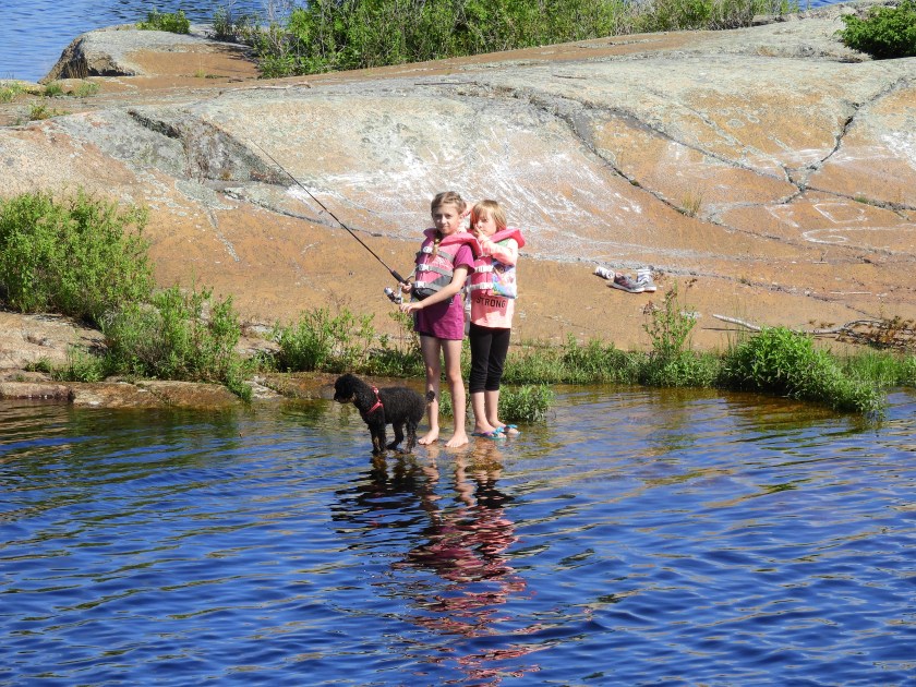 Headed out the inlet we noticed more boats on rocks and some cute kids.
 Perfect boat for our friends Bob and Margie, the name of the boat is “Miller Time.”
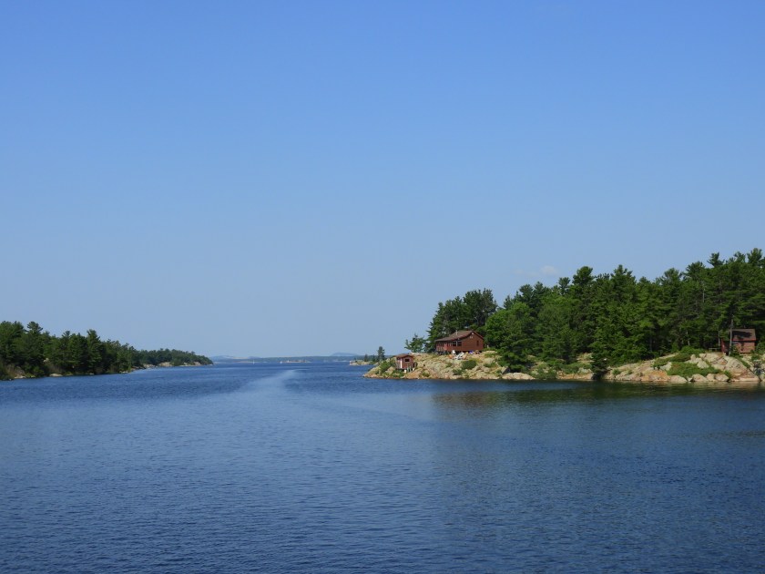
 Final stretch of the inlet before we headed out into Georgian Bay.
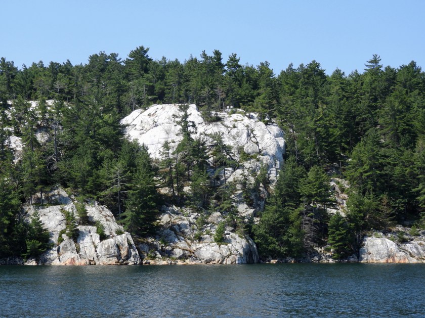
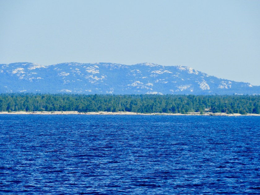
 La Cloche mountain range in the background. The white is not snow! Limestone and quartz.

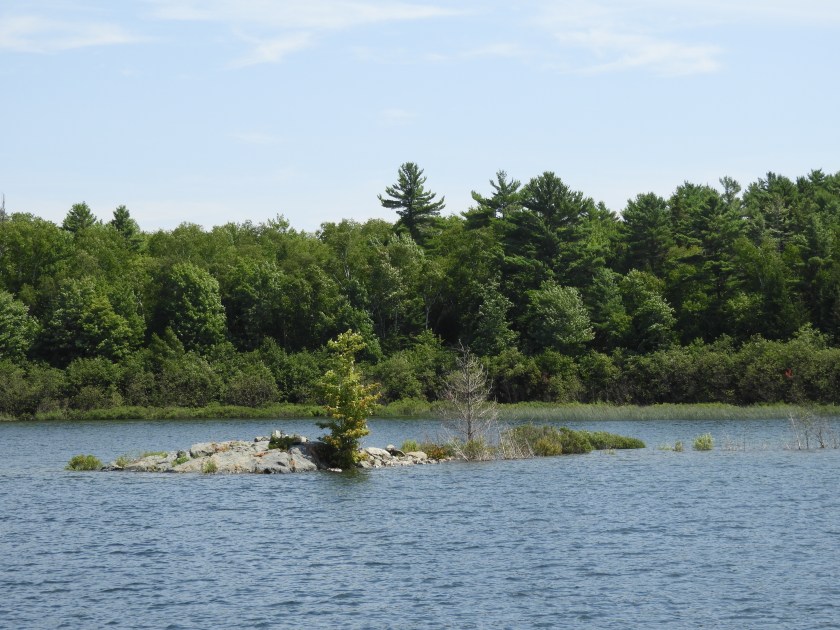
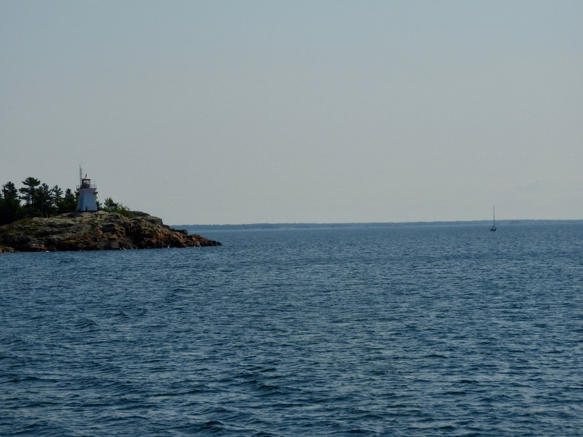
This unnamed island out in the Bay had 3 lighthouses on it. Shortly after passing them we headed back into the 30,000 Islands up the Bad River Channel of the French River. Per Guidebook this is the area that fur trades from Montreal canoed down on their way to Lake Superior. It is considered to be a fjiord.
 Looking back at the Bad River Channel. There were of course a bunch of skinny passages along the way.
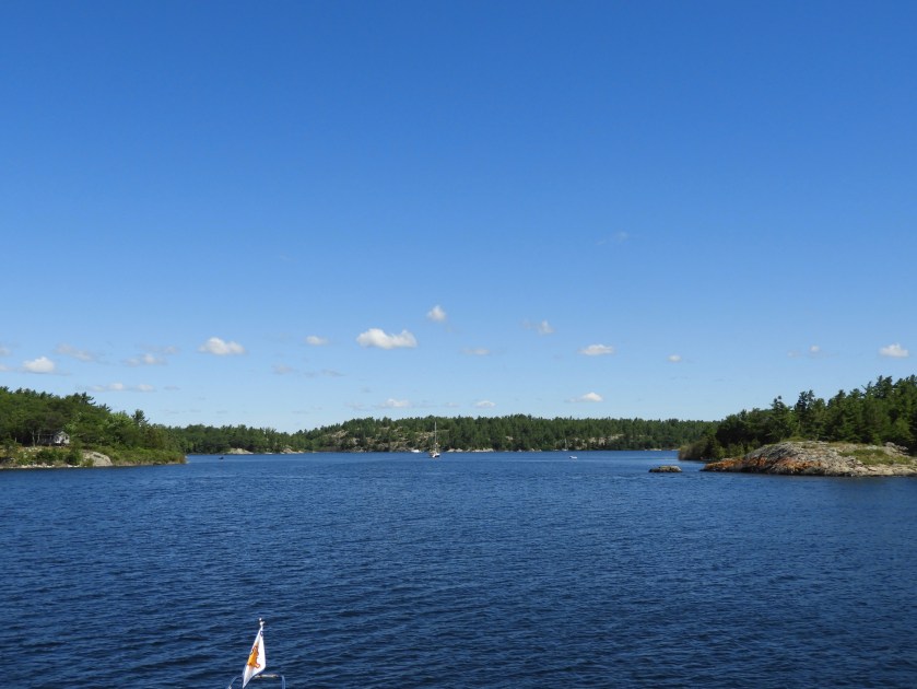
 Entering the anchorage.
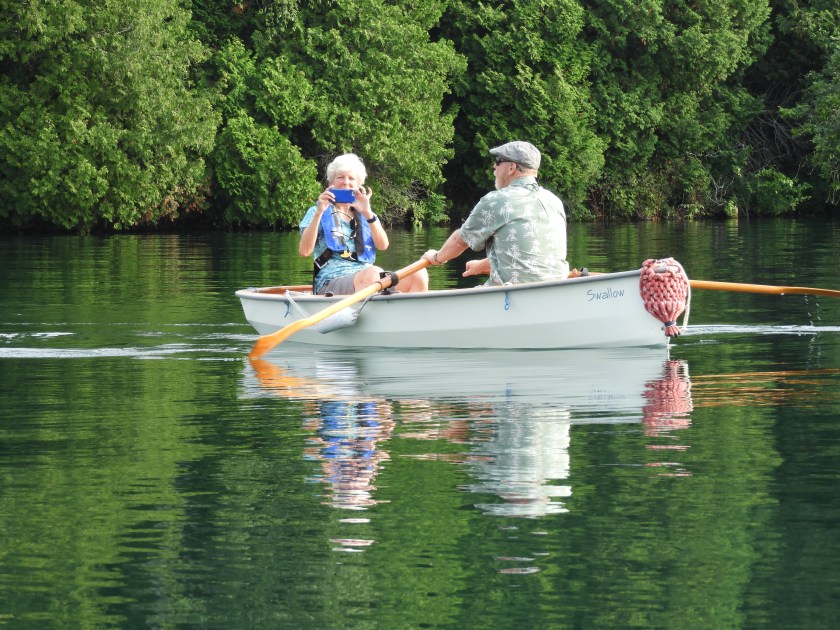
 Of course our sailing buddies Hal and Terri have a sailing/rowing dinghy instead of a motorized one.
 We anchored right on the anchor! It was really exciting to go through Devil Door Rapids and explore the other chutes/rapids as well.
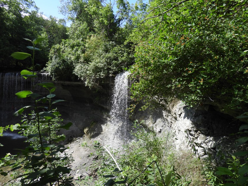
 The current coming through here was unbelievable and there actually was a small waterfall to go up and over. I had to close my eyes.
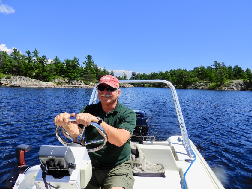 Happy Bob for not crashing the boat going up the rapids.


 Scenes of the other rapids and chutes. Sign on the little island says “no swimming.” No kidding!
 Another couple contemplating the rapids. They did go up. We visited with them later so I could show them a video I took of them going through. Turns out the husband, Dennis is a commercial diver who worked with the companies Bob did when he was a commercial diver. Small world!
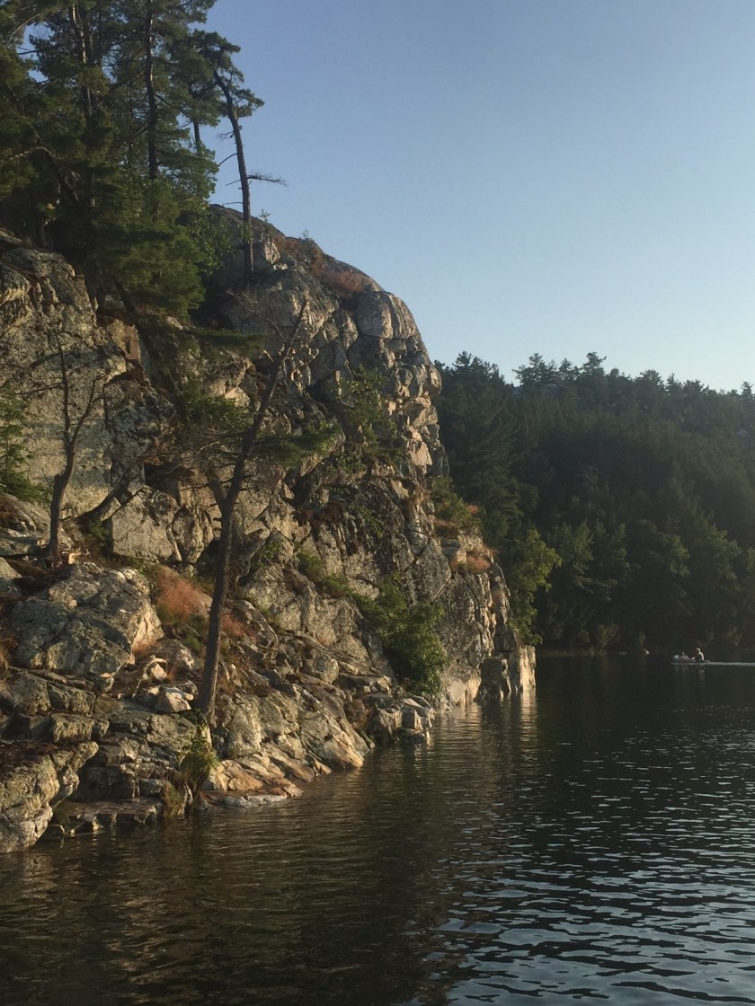
 Bob dropped me off at the base of this cliff so I could take some pictures.
 Looking down at the anchorage.
 Looking out at the Bay.
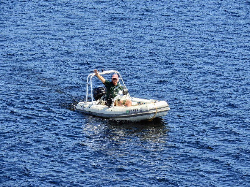 Bob coming back to pick me up. It was a clear night and we were hoping to see the Northern Lights. No luck, maybe next time.
