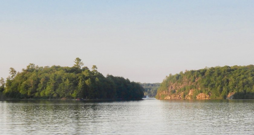
 July 10: On our way to yet another secluded anchorage we noticed several islands had their names painted on them. Very handy! And, a bit of an omen for the afternoon.
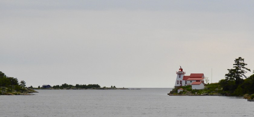
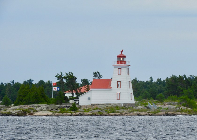
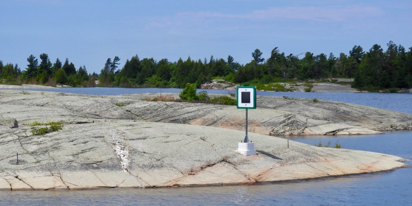
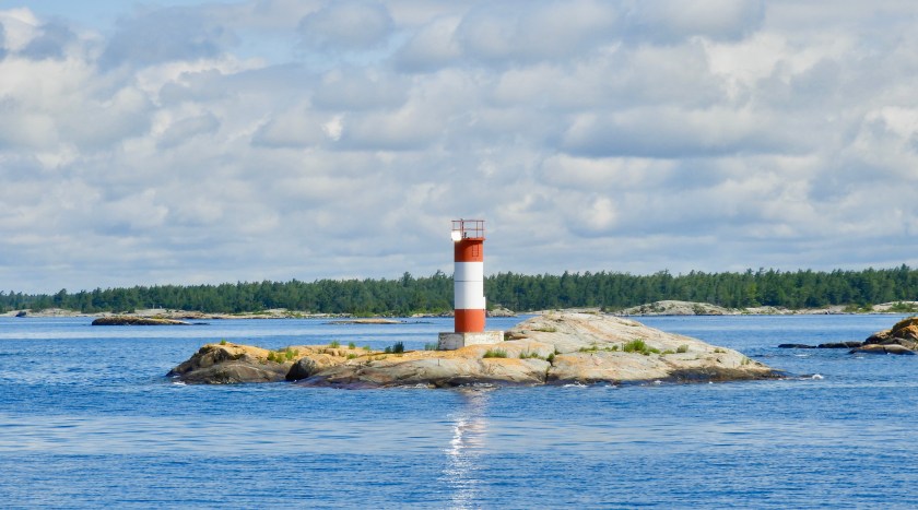 Lonely looking light station.
 Several islands had ranges on them, also very handy.
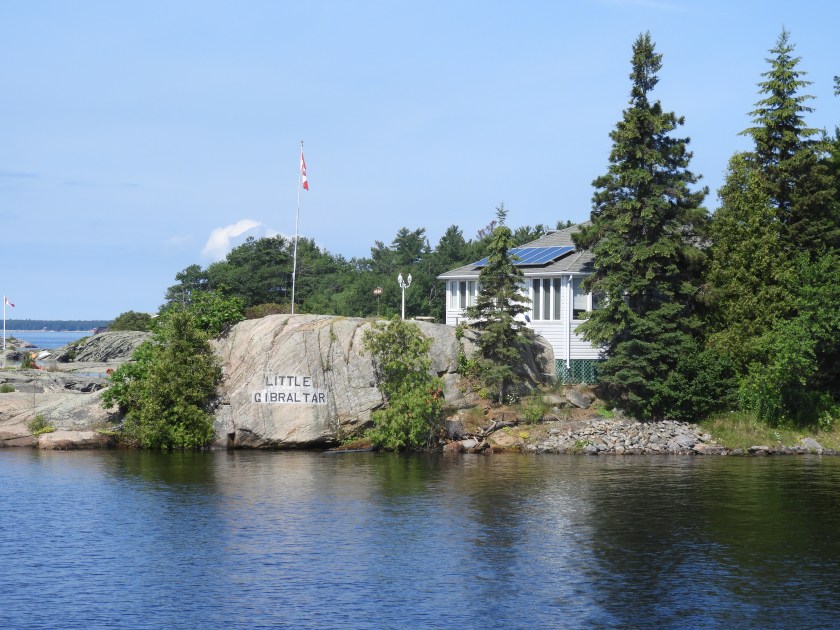
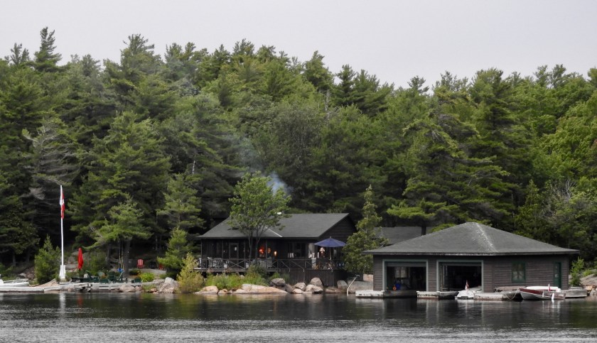
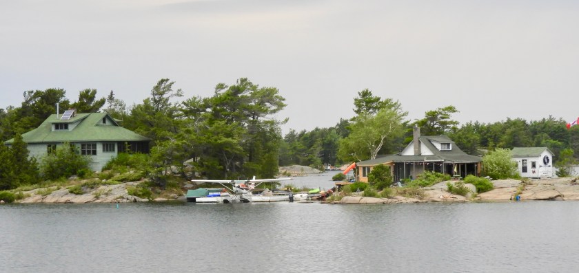
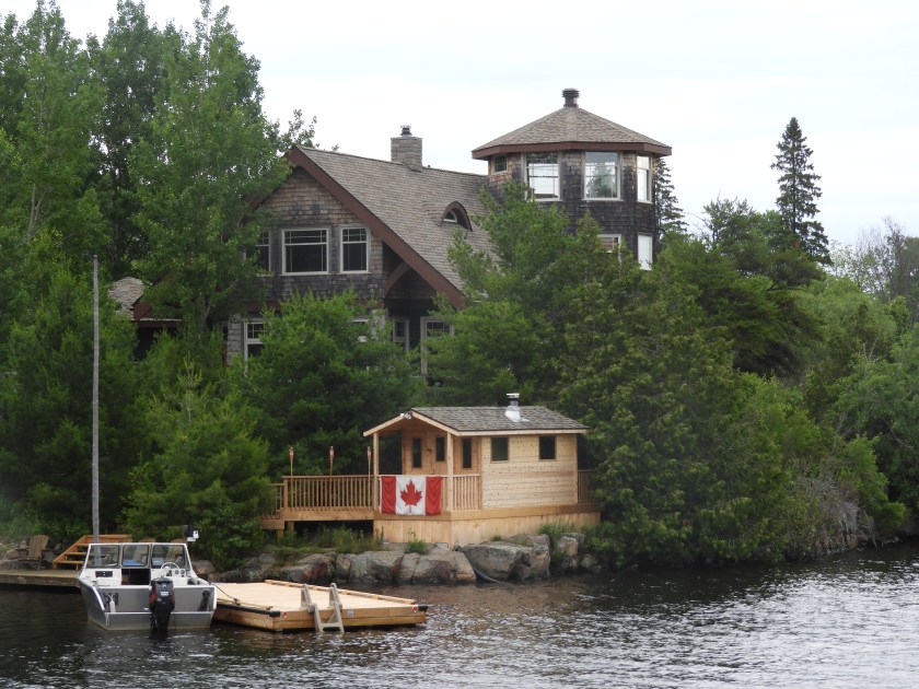
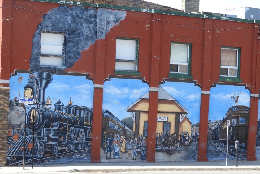
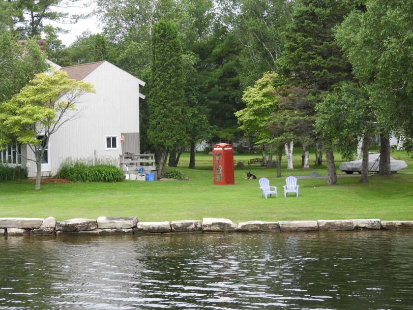
 The owners of this home must have gone to Nippers on Guana Cay, Bahamas.
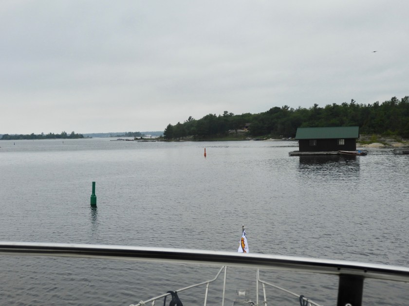
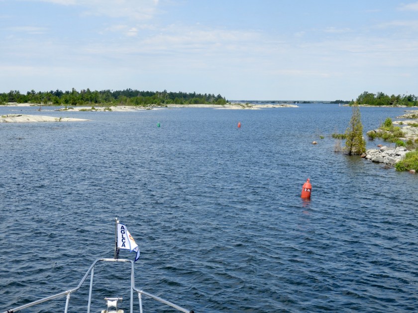
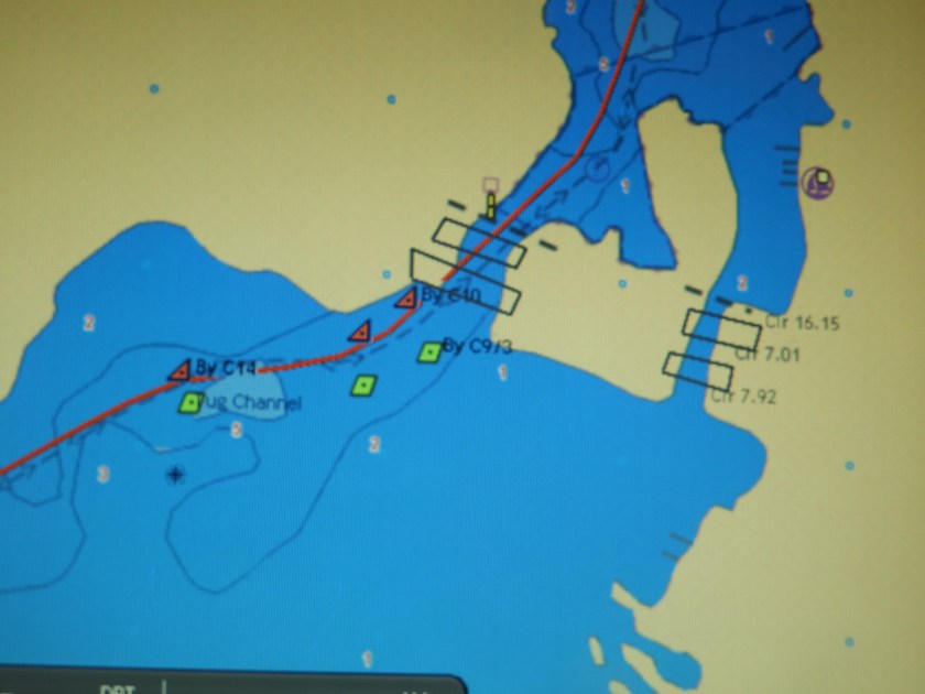
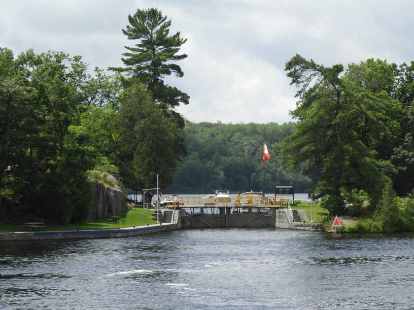
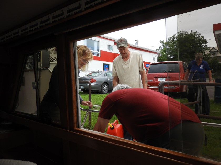
So the red is on the right, the green is on the left, but then what?? At this point our chart plotter decided to blank out. Sphincter factor well over 10. Fortunately I was holding the paper chart and a short time later Bob got most of the system rebooted. Decided to go on to Parry Sound where there were marinas with mechanics to get some help to trouble shoot the system.

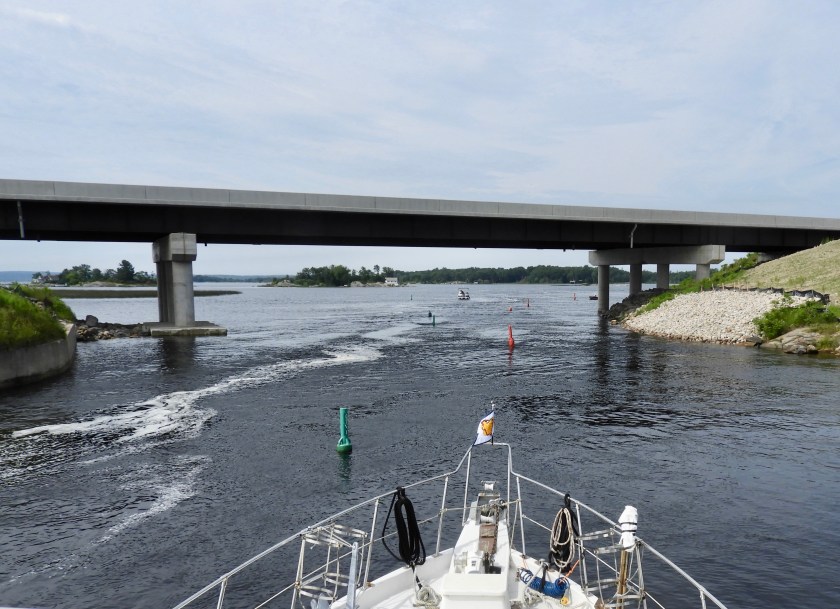
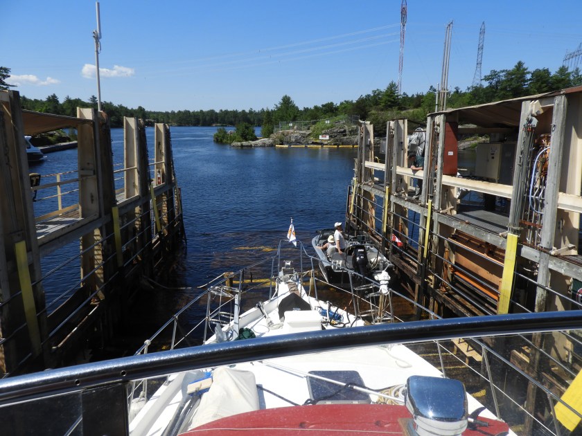
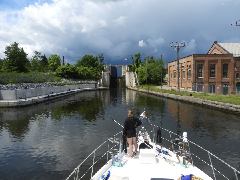
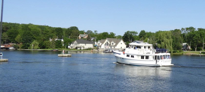
Part of the South Channel leading into Parry Sound has the ubiquitous narrow channels complete with tour boats.
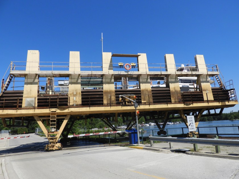
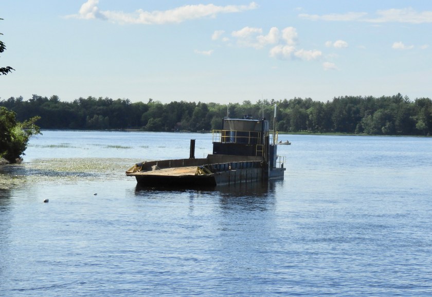
To our surprise (because we haven’t seen that many other boaters) all marinas were full in Parry Sound. We anchored in a lovely bay just shy of the swing bridge (the superstructure of the bridge is between the two islands) south of Parry Sound.
 July 11. We were able to get some dock space at the end of the town dock. No mechanics available so we bought more charts and a handful of groceries.
 En route to the grocery store I noticed this house with my kind of yard: interesting rock formation and minimal lawn to mow.
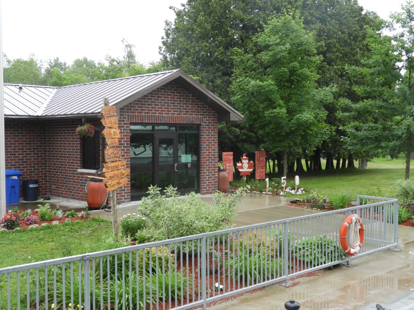
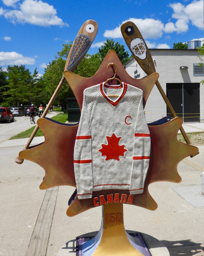
 Yes I am (“You are here”) and yes we are (discovering “Amazing Places”).
 Headed out of Parry Sound later in the morning, still a bit foggy.
 Going by the Snug Harbor Lighthouse.
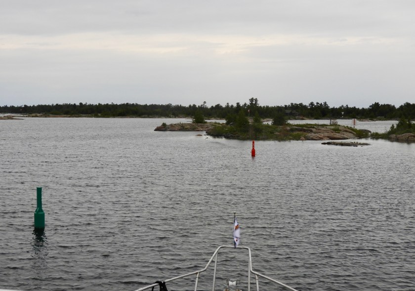
 Yet another bat turn around some buoys.
 A Verizon pine perhaps?
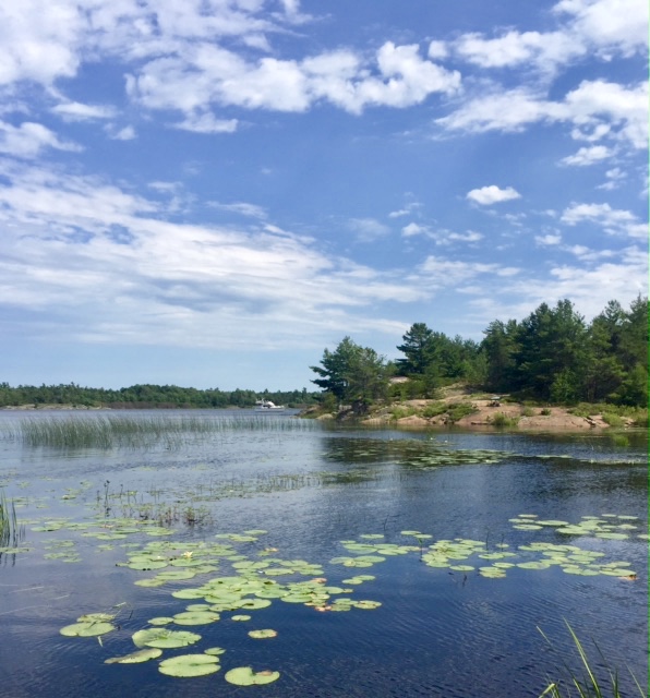
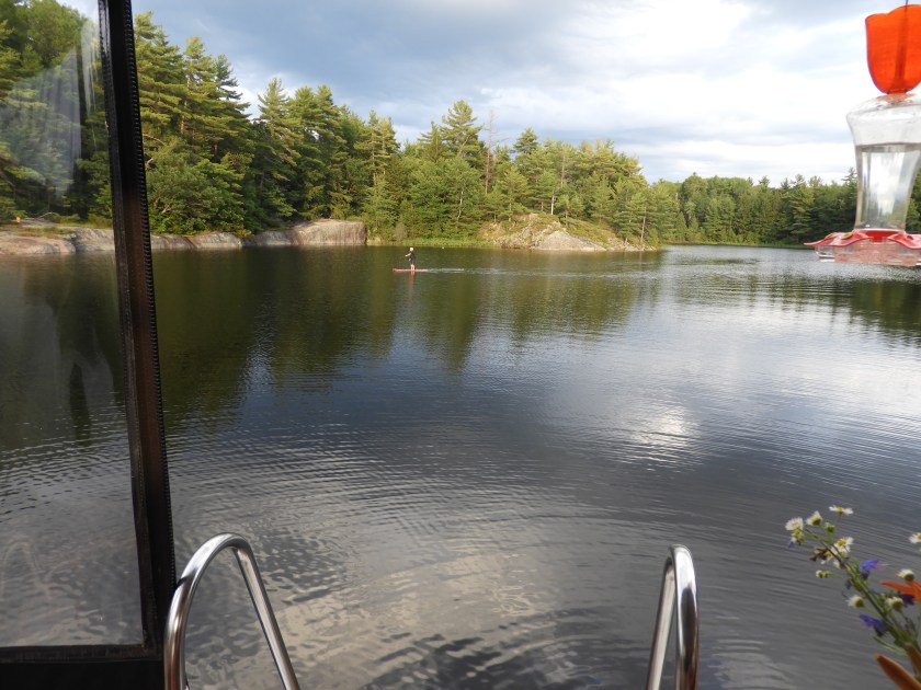
We found a nice anchorage in Hopewell Bay (where the 10 foot depth meets the 4 foot line). I took a nice paddle boat ride around the island with the “LL” on it.

I hopped off the paddle board for a short walk on the uninhabited island. Cool ribbon of granite. (I didn’t delve too much into the island – no real paths and this area has rattlesnakes!).

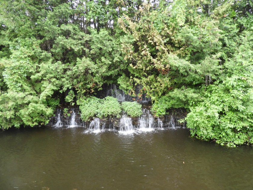
And a lovely lily pad pond. Later that night we were swarmed by mosquitos, first time so far on this trip.
 July 12: We left at 6am because the winds were predicted to kick up to over 20 knots followed by some thunderstorms. Our destination was only 4 hours away which put us well ahead of the storm front. This building is the Ojibway Club Hotel and Restaurant.
 This cottage confirmed how cold it was (in the 50s), they had a wood fire going. Smelled good.
 As you can imagine, many of the cottages had their own sea planes.
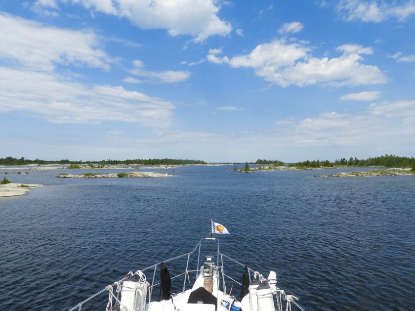
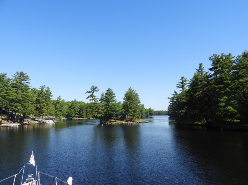
Passing by Pointe au Baril. Heading out into the Bay for a bit before taking another inside passage.

One thing we’ve noted about the charts – there are a lot of uncharted areas! No depth soundings (where the dots are) and several fairly large unnamed islands.
 Sign on the rock denoting how Pointe au Baril derived its name. In the 1800s there were very few navigational aids. Per guide book the locals lit lanterns on a large barrel to guide boats into the harbor, hence “Barrel Point.” The barrel is just off center to the left.

 Pretty darned desolate as we snaked our way through Hangdog Channel (not a recommended route for boats over 40 feet). Apparently we needed more of an adrenaline rush for the day.
 The many rocks remind me of icebergs, it’s not so much what you see above the water as it is what lurks below. Here you can just make out a rock ledge about 6 inches below the surface (where the water is a slightly different color).
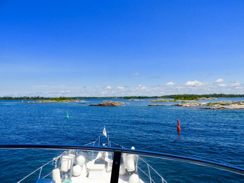
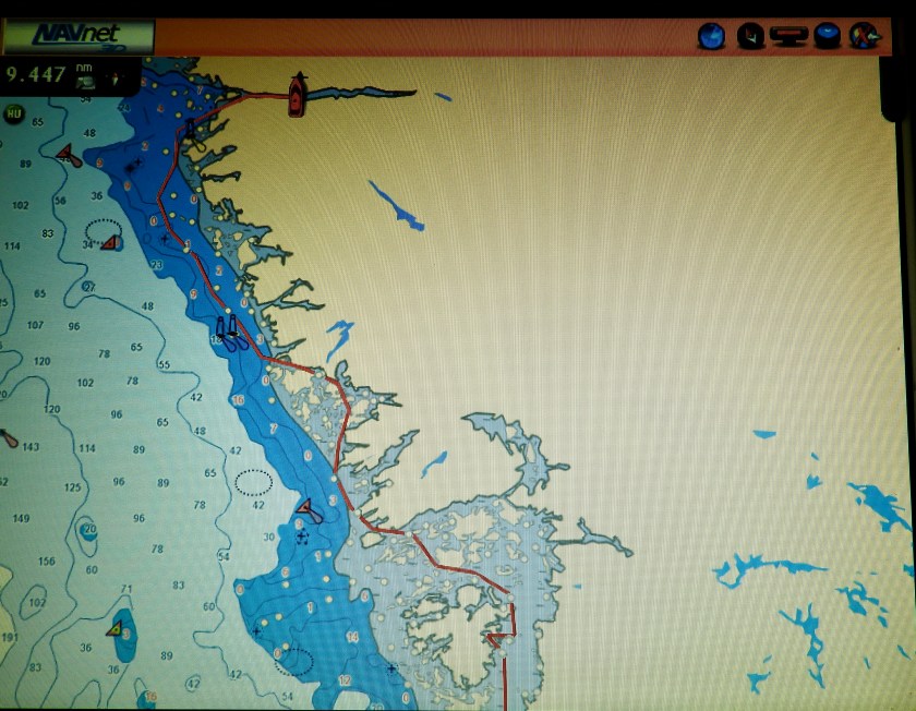
 And even when you’re well off shore in the actual Bay, you still have to watch out:
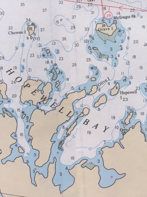
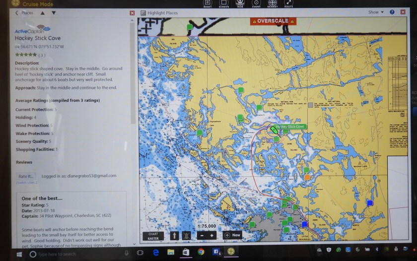
 Here’s what the chart looks like for the above picture.
 A welcome sign, the lighthouse for Byng Inlet, just about at our destination for the day.

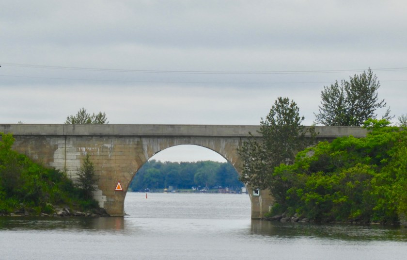
South Channel leading to Byng Inlet, now behind us.
 Love the turret.
 Another quaint cottage.
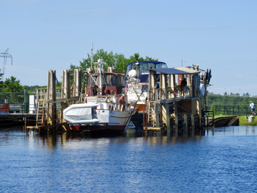
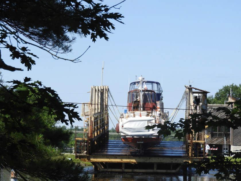
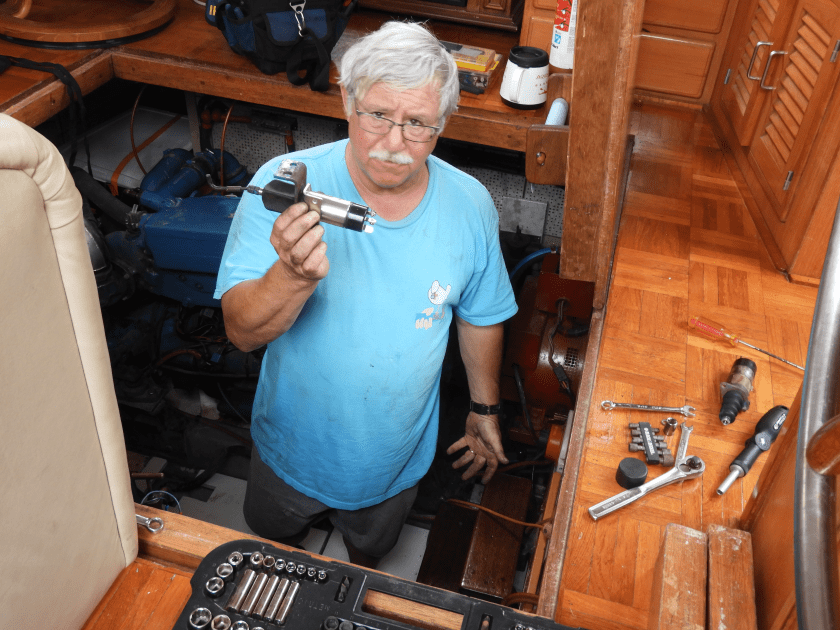
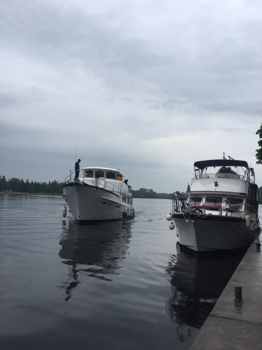
 Our destination for the night – Wright’s Marina where we hoped to utilize most of the items on the billboard. The owner/mechanic was uber busy and not able to help us with the Furono chart plotter until 4 (we got there at 10am). Got three loads of laundry done while waiting. Unfortunately Graham and Bob weren’t able to solve the problem by the end of his work day (6:30). So, to be continued tomorrow…..
 Looking at our goofy route for the day – from Hopewell Island, inside skinny passages to outside into the Bay and then back in again to Britt, Ontario.
 A different view of the route.
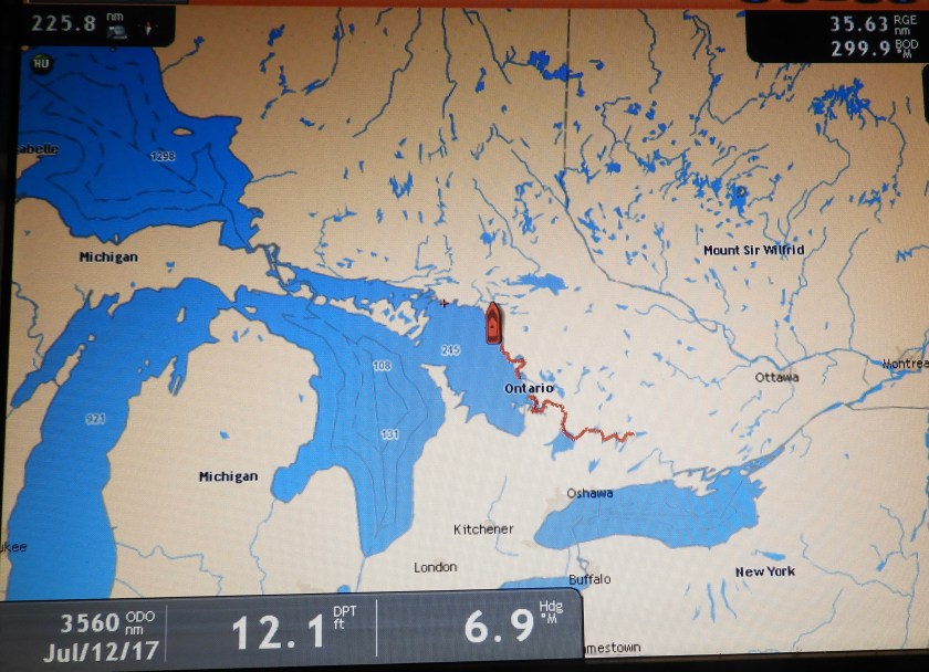 And where we are in the world.
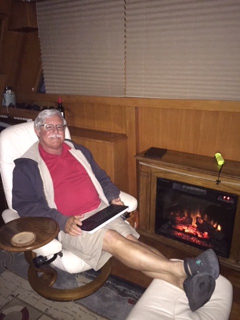
For the evening we let go some of our frustrations with the lack of progress in fixing our Chart plotter . This is what our daughter Steph calls fake boating: sitting by a fire place (that cold front was really cold!) and watching a movie.
 Headed out Byng Inlet, going by Clark Island.
 Cool rock formations.
 Going into Cunningham Channel.
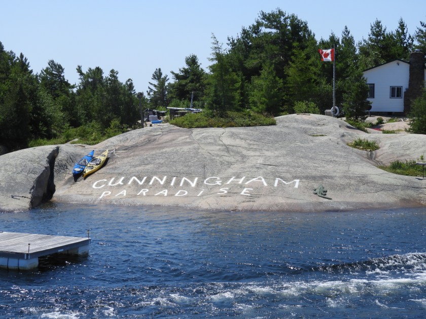
 The Guidebook forewarned us of “Lola.” Love the cottager’s sense of humor.
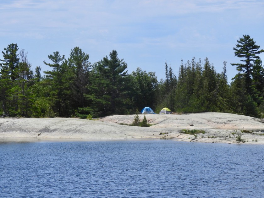 Camping on a rock? No thank you….
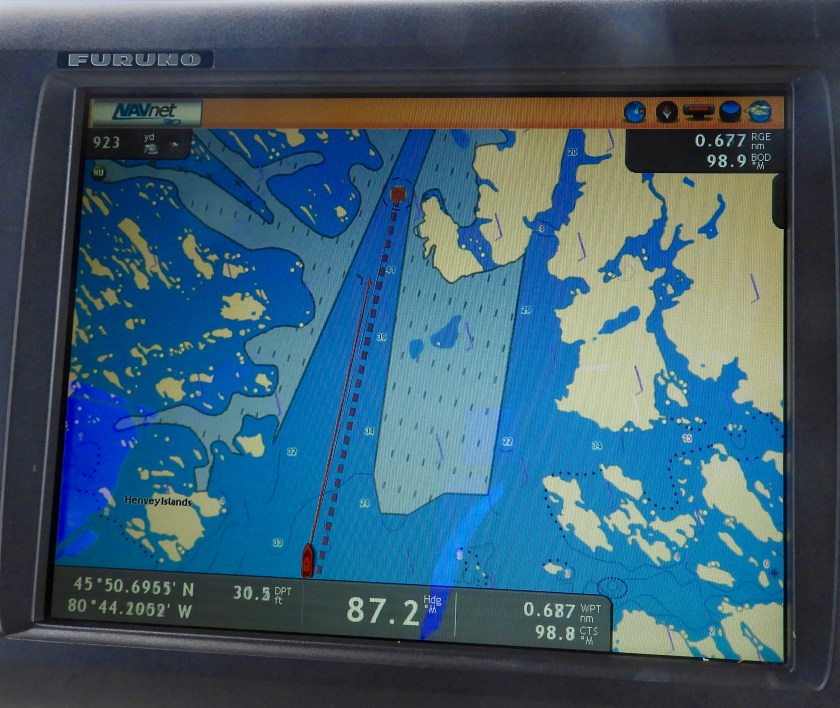

 A vein of quartz in the granite.


 Cool rock face docking!

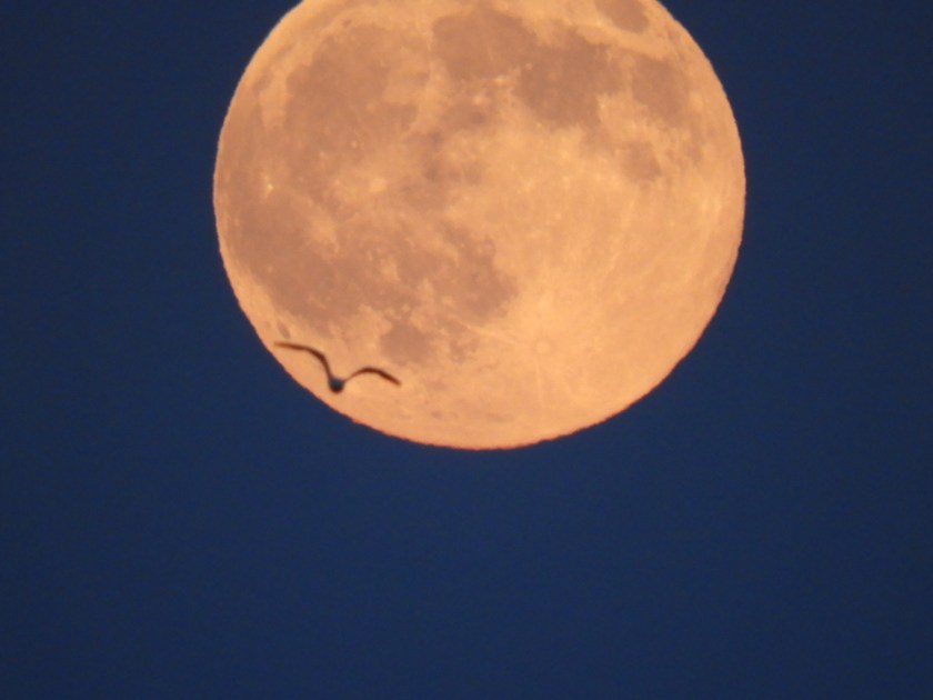
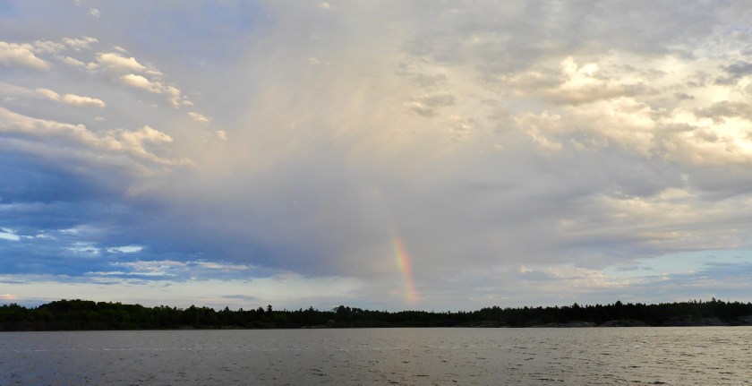 A rainless rainbow later in the evening.


 Compared to Canada Day on July 1, our 4th of July was rather quiet. While Bob and a mechanic worked on the solenoids (which got fixed – yay!) I walked around the marina. Here’s mother swan tending to her babies.
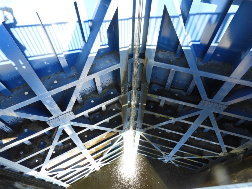
 Leaving the marina and looking back toward Lake Simcoe. It’s amazing that all of Lake Simcoe funnels into this very narrow passage by a railroad bridge.
 One of many mansions along the way.
 We moved over to the Port of Orillia to do some provisioning. The marina let us dock for free for a couple of hours and told us to take any slip we wanted (as long as it wasn’t reserved).


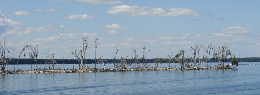
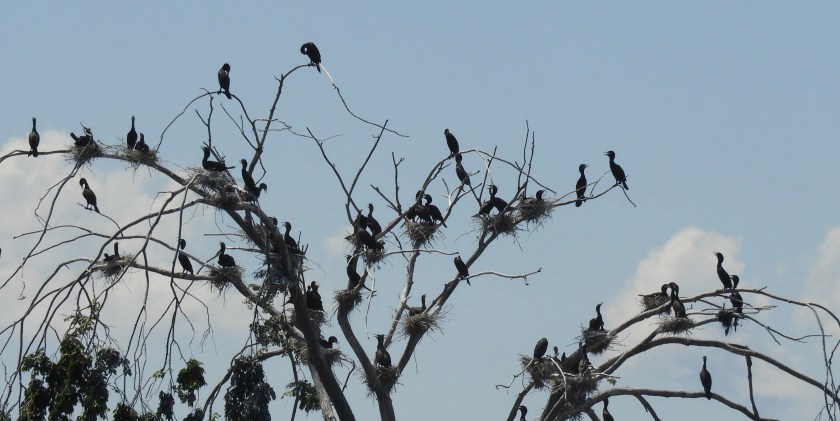 An island completely taken over by cormorants. Pretty typical along seaways. I like all the yakking going on.
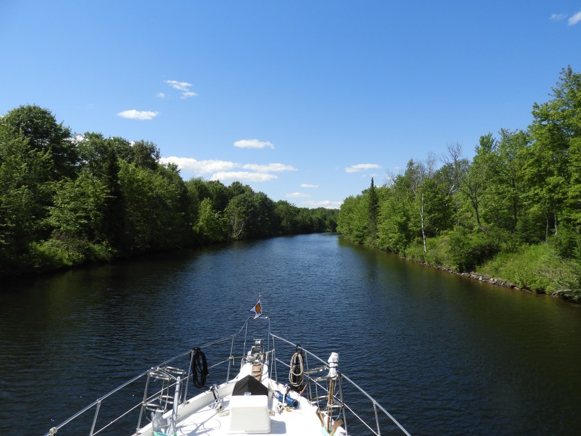 Entering one of many narrow passages.
 While waiting for this bridge to open Bob serenaded me with Gordon Lightfoot’s “Canadian Railroad Trilogy.” We listened to a lot of Gordon Lightfoot songs along the way.
 People having a relaxing time at the water front.
 This sitting duck on a rock looks innocent enough, but those rocks are only inches away from the side of the boat. Unfortunately a boater took a turn around one of the rocky bends a bit too wide, got caught by the raging current and….
 On to calmer seas and a wide spot in the canal system.


 Many portions of the canal reminded us of the 1000 Islands.
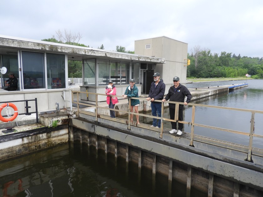
 Made it to the top of Lock 43 after closing time. This lock is so remote the lock tenders come in by boat. To drive here you have to travel 11 miles on a dirt road.


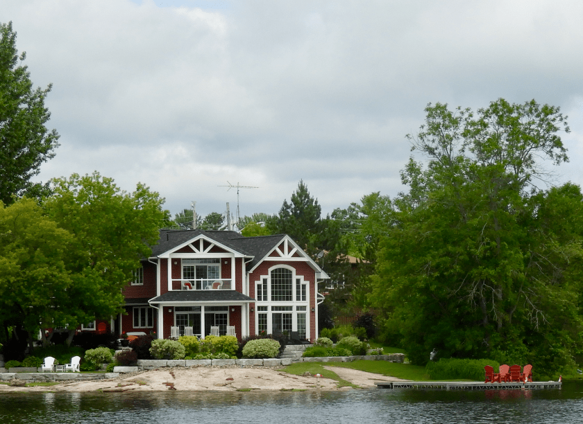 One of many pretty houses along the way.
 Study in yellow, red and ORANGE.
 Maneuvering into the locks was total chaos. The procedure is that you tie up to the “blue line” to let the lock master know you intend to lock through. That’s all fine and dandy when there’s space and no other boats. However, on this holiday weekend there were a zillion boats in a very narrow space all jockeying for position. Out of control houseboats were our particular favorite. Bob managed to “parallel park” between 2 houseboats. Bow and stern thrusters were quite helpful!
 This dock and boat get the prize for most variety of flags flying.
 Second prize for going with just one-flag theme.
 We deemed this the Bob Reynold’s (our brother in law) water front: you’ve got Audi, an athletic guy, a beer store, a ski boat, a skeleton representing the most bones broken, etc. etc.
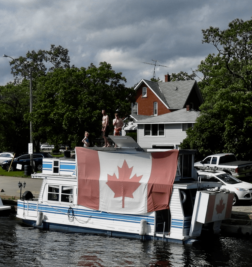 Biggest Canadian flag yet.
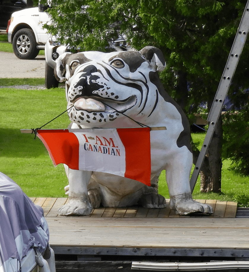 Love this mascot.
 After 3 locks of total mayhem we entered a much more tranquil part of the canal system.
 Blue skies quickly being threatened by a storm front. I’ll take the sunny side of the street!
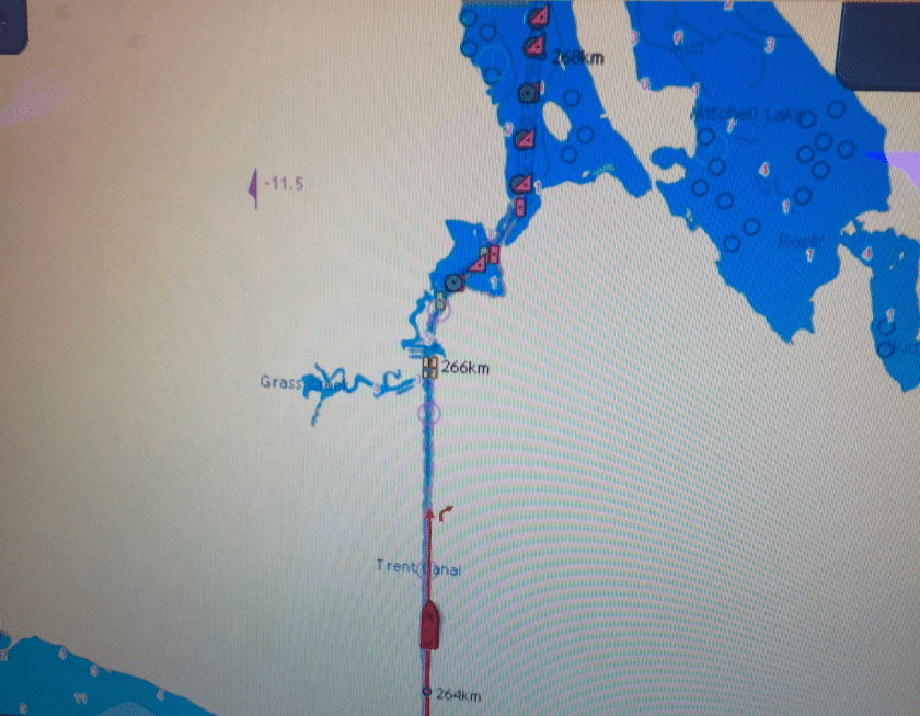 Map of the next section. It is so narrow you are advised to announce on the VHF radio that you are entering the Trent Canal. Two boats of our size can not pass one another. So basically you enter a one way street blindly and hope no one is coming your way!
 What narrow looks like ahead.
 Narrow from the helm. Some of the branches did touch the boat.
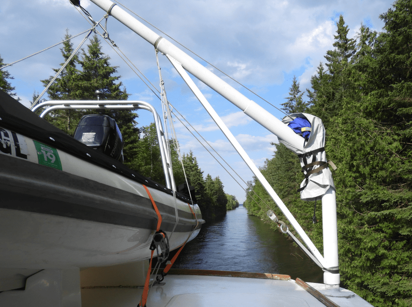 And from behind.
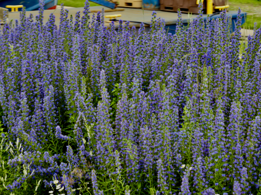 I notice the delphiniums along the way.
 Bob notices the tug boats along the way. He really liked the “gated” community.
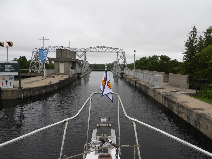
 We approach Kirkfield Lift Lock #36. Looks like the end of the world!
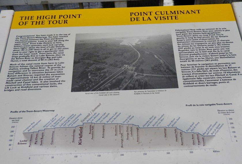 Cool information about the lock. Apparently in lock world, this is the “highest” elevation for a canal lock. So basically in our world, we’re at the top of the world..
 Sunset at the lock. We thought this was the end of the evening….
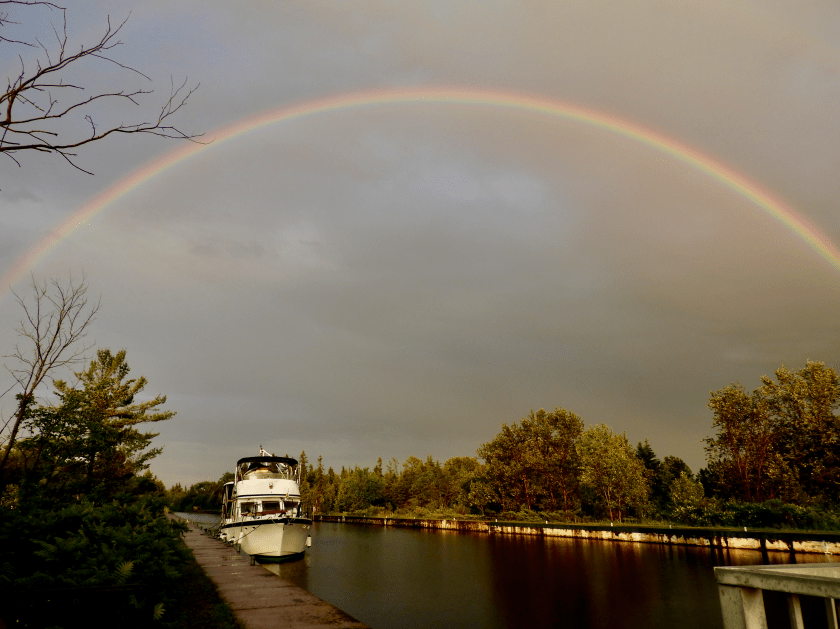 But no, the storm finally hit and afterwards we were graced by a double rainbow over our boat. Cool end to a long day.


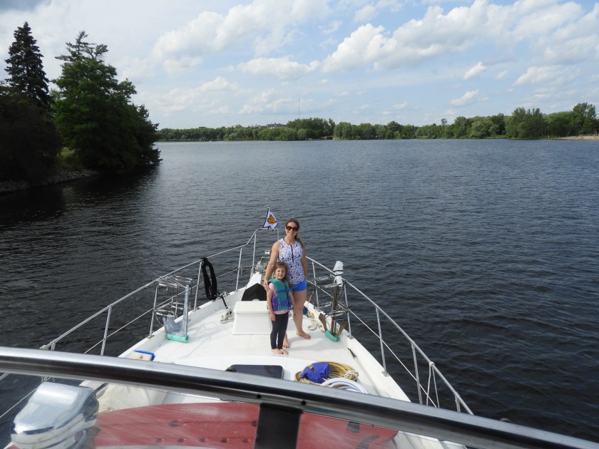


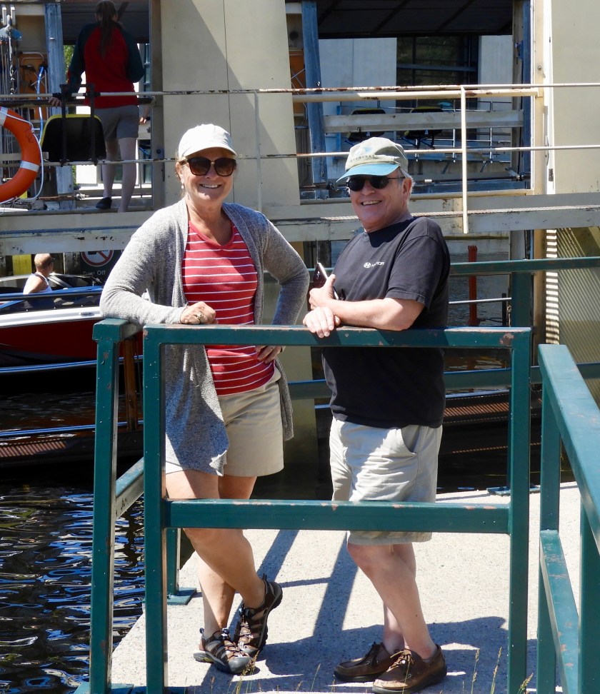
 Kim inside the tower at the controls.