
Heading out of Baie Fine on July 22.

The helicopter is still busy.
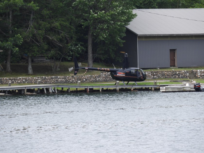
Landed at the Okeechobee Lodge. This is now a private lodge for local cottagers.
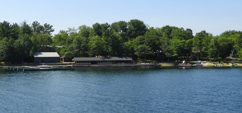
Swim area for the lodge.
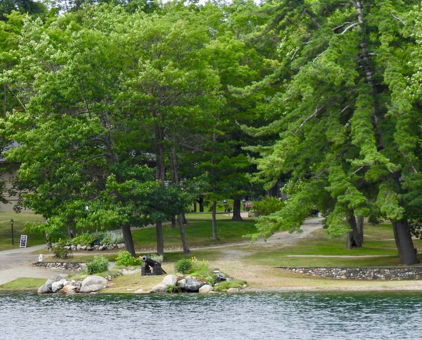
I guess this canon means they are serious about their no trespassing sign.
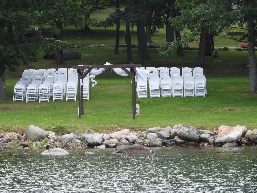
All set up for a wedding, perhaps the helicopter pilot was bringing in guests.

Lunch stop in Boyle Bay on Badgeley Island.
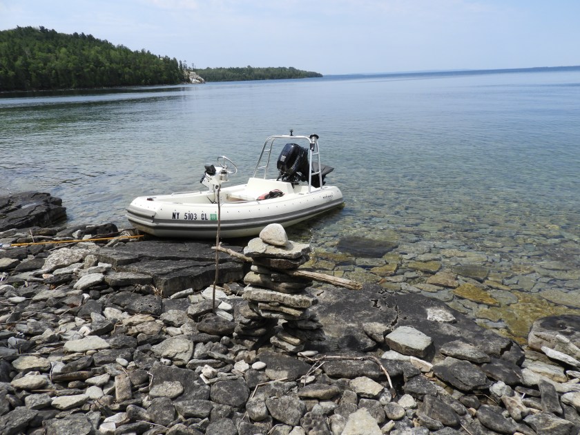
Went over to nearby Mayes Point.

Guidebook said there were fossils in nearly every rock.


Guidebook also mentioned there were several rocks with bear claw markings (apparently bears need to sharpen their claws). We found several rocks with claw marks, creepy!
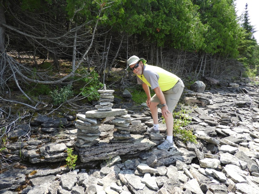
Hal building his own Inuksuk (a First Nations type of rock formation).
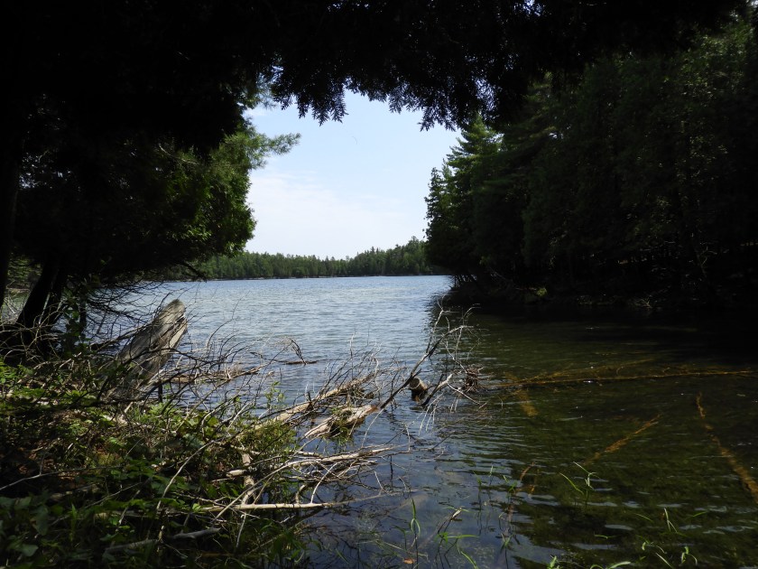
We also hiked into Devil’s Bay lake. The local mosquitoes took their daily dose of blood from us so we didn’t stay here too long.

Back at the boat, here’s my stash: quartz, black rock with bear claw markings, random orange rock (granite?) and a flat piece of limestone etched with fossils. Bob is so thrilled that I’m bringing rocks aboard.

After our exploration we up-anchored and moved over to a more protected bay off Heywood Island.
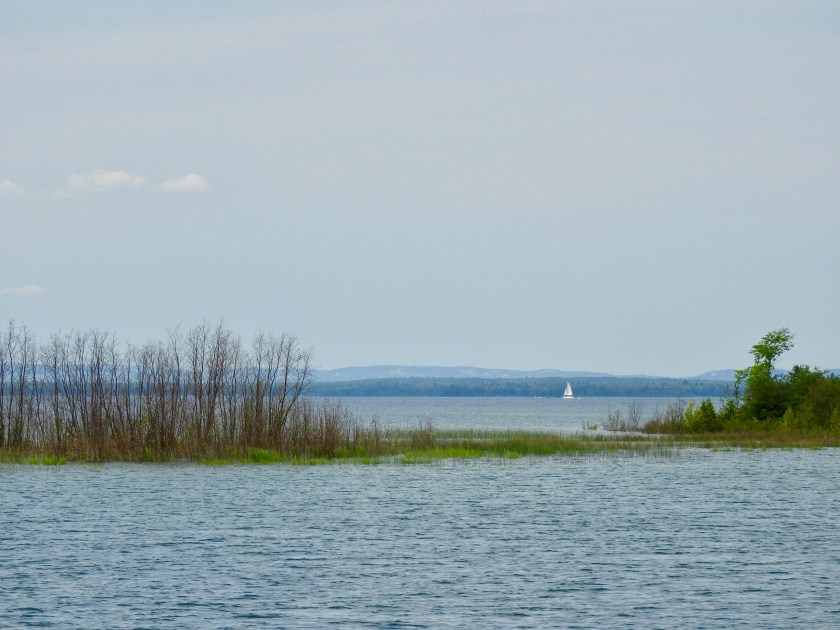
Scenic view from the anchorage.
During cocktail hour we went on a wild goose chase. What we thought was a bear swimming across the channel (they do that around here) turned out to be a gigantic beaver. One cocktail too many?
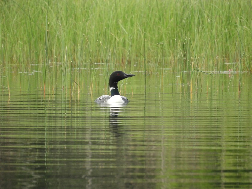
Well at least I got a good shot of a loon!

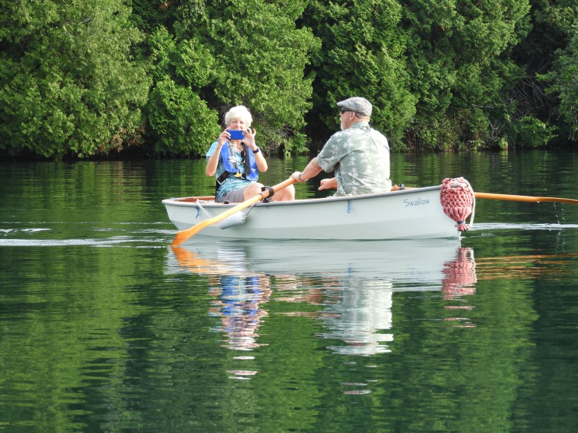
We met the folks on the ketch. Their boat is named Adanaco which is O Canada backwards. They gave us lots of advice for cool anchorages to the west of us. Bob graced them with his a cappella rendition of O Canada. They were impressed he knew all the words.

Apparently butterflies like our boat. This Red Admiral flew into the main salon. Didn’t take too much coaxing to get him to fly out of the boat.

On July 23 we went by Strawberry Island Lighthouse on our way to the town of Little Current.

So on the placemat of life, the picture of the lighthouse points to where we are now. We’ve done the right hand side, and now half way down the left side.
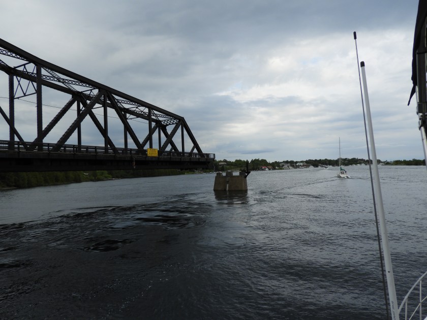
Going by the Little Current swing bridge. Even though the North Channel is not a river, there is a peculiar current that funnels through here. The current direction is dictated by wind direction – but in a random way. The winds were NNE as we went by, but the current was running west to east. After we docked and the wind was still NNE, the current ran east to west – and at a pretty good clip. Made for interesting docking to have a strong cross current. Once again we are very thankful for the bow and stern thrusters. Today is as miserable as this picture looks. Lots of storms passing through. We were able to get docked, do laundry and re-provision before the skies opened up.

Chart 2205 has been my favorite chart so far. We’ve gone from Killarney to Little Current – a distance of only 22 miles over a 5 day period. Weather until today has been fantastic and we’ve really enjoyed the “gunk holing” along the way.

I can only imagine how thrilled Bob is about rocks on the boat 😂😂😂! Love your blog, thanks for sharing your journey!
LikeLike
Thanks, And thanks for sharing yours! Looks like you have a lot on your plate with your move to Utah. Good luck with that!
LikeLike
Love the rocks!
LikeLike