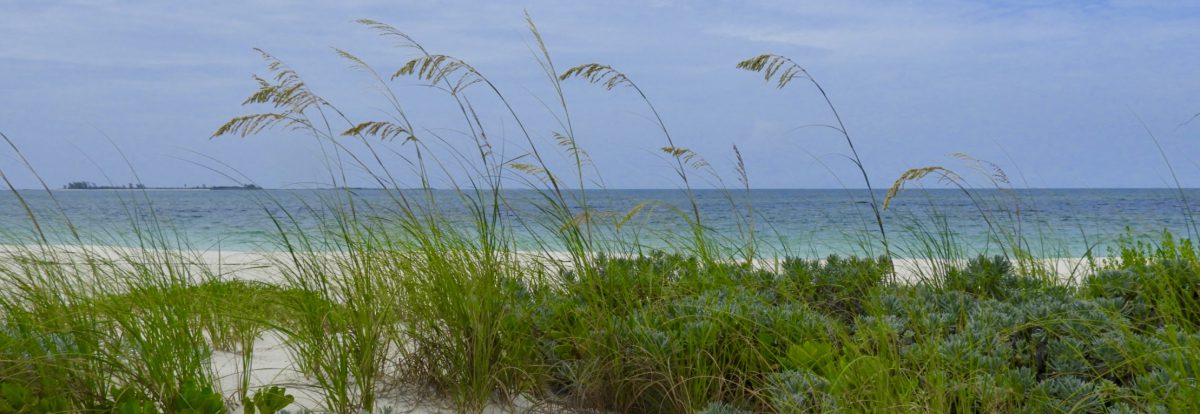
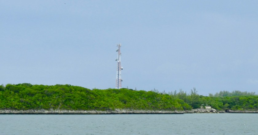
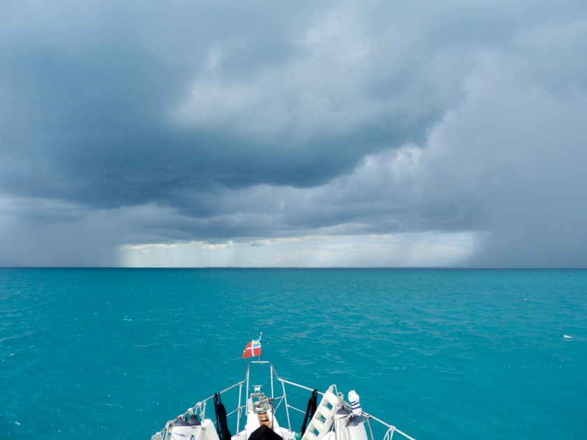
After a pleasant anchorage off Lynyard Cay we started a 300 mile round trip adventure circumnavigating Great Abaco Islands via the Berry Islands. We had fairly calm seas and a nice uneventful 70 mile passage to Little Harbour Cay in the Berry Islands. Here we are passing the Hole in the Wall Lighthouse located at the southern most tip of Great Abaco. To get here by car involves a final 10 miles of dirt road requiring a 4-wheel drive vehicle.
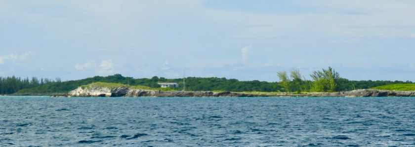
We entered the Little Harbour Cay area by midday and anchored off one of the many uninhabited islands for the night. The next day we moved the boat closer to Little Harbour Cay to go out to lunch at Flo’s Conch Bar.
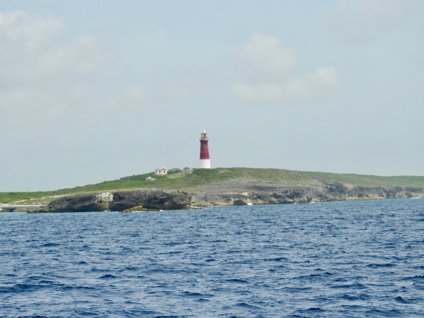
The chart shows our track coming into the Berry Islands and then retracing our steps somewhat to get closer to Flo’s. (Flo’s is depicted by the fork/knife symbol). Note the lighthouse symbol on the end of the island (which is the same sized symbol for the Hole in the Wall Lighthouse).
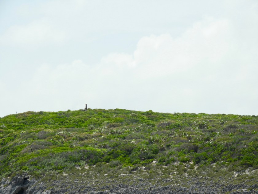
No wonder we missed the “lighthouse.” I’d be generous if I said the lighthouse/post was 3 feet tall.

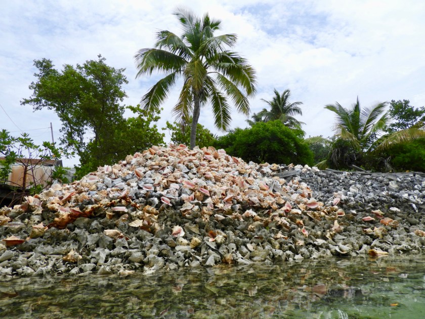

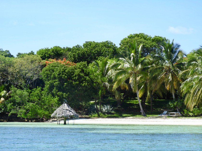
Approaching Flo’s Conch Bar with the tell tale mountain of conch shells.

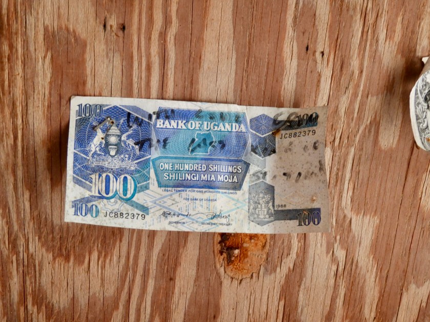
As is typical of most tropical bars, people leave their memorabilia behind. This bill traveled quite some distance!
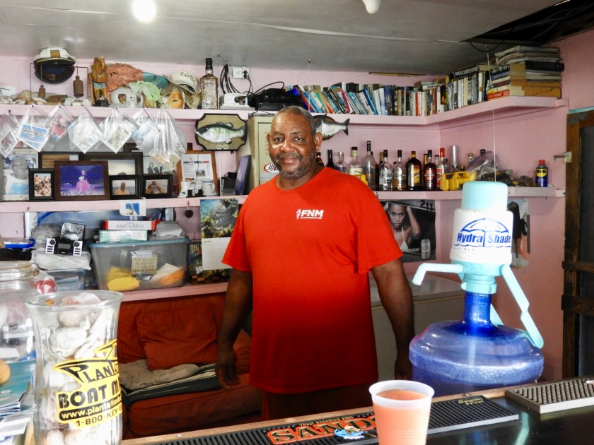
Flo has long since passed away but her son Chester runs the restaurant and in my opinion, served us the best conch and lobster meal I’ve had to date (the rum punch was pretty good too!).
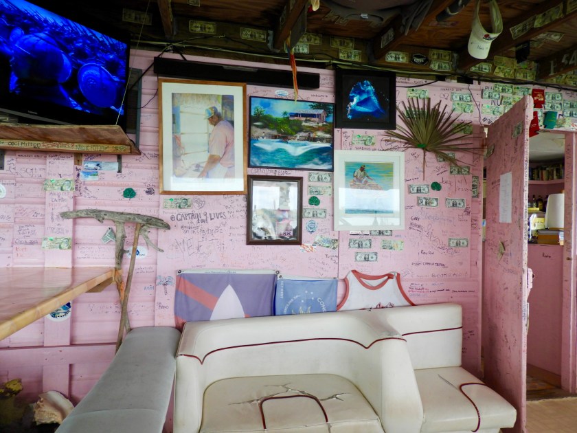
Chester in paintings as well.

Outside the restaurant was an array of animals and birds, including peacocks.


A rooster squawking at the peacock in hindsight.
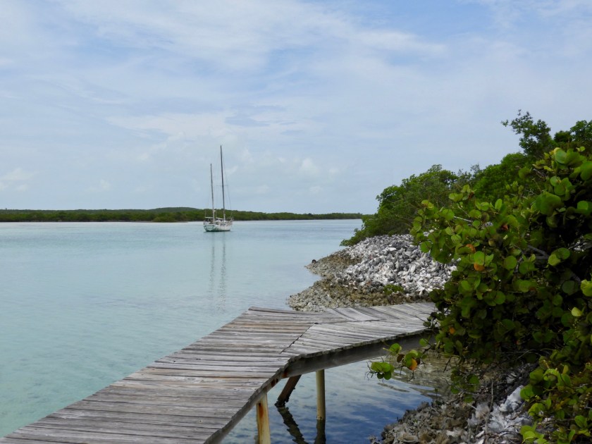
We were amazed to see this sailboat off of Flo’s dock since we went over a one foot sandbar in the dinghy to get here. Chester explained it sailed into the bay 12 years ago on a super moon high tide (it draws nearly 6 feet).
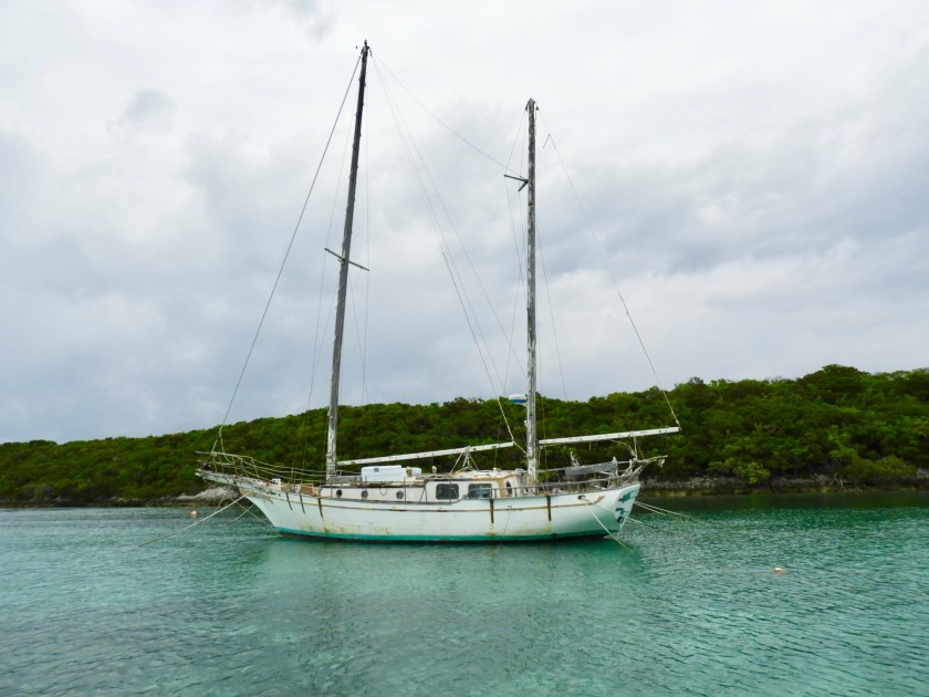
With no less than 8 anchors apparently it’s staying put.

Our backyard for the night.


Awoke to the unmistakable shriek of an osprey taking a shore side bath. This osprey represents the sole osprey I’ve seen in the Bahamas after 6 months (whereas in the US along the coast lines I don’t think you can go 6 seconds without seeing one).

Had a lot of fun exploring this nearby island we dubbed Gilligan’s Island.
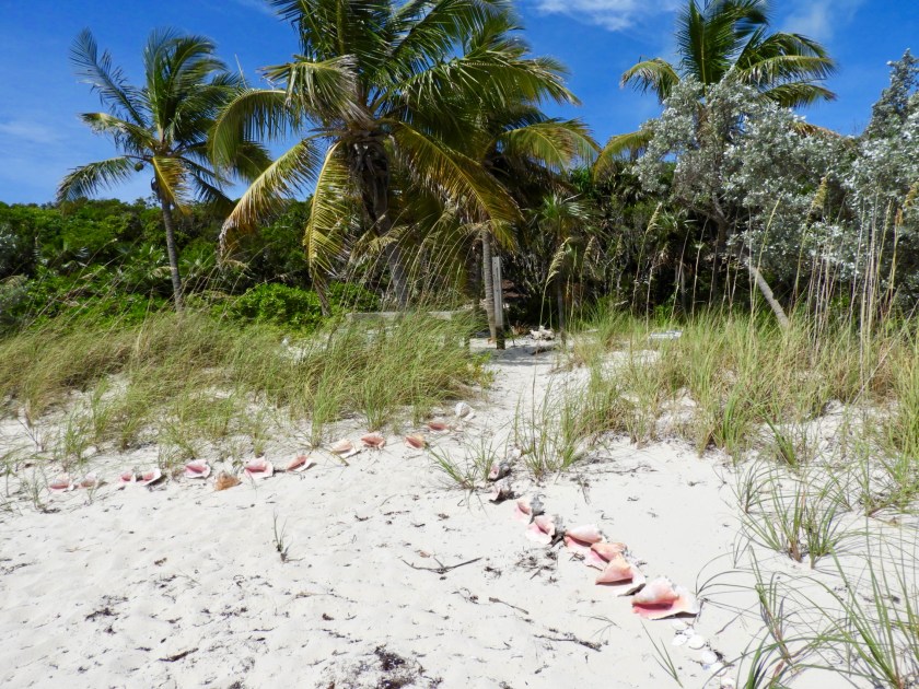
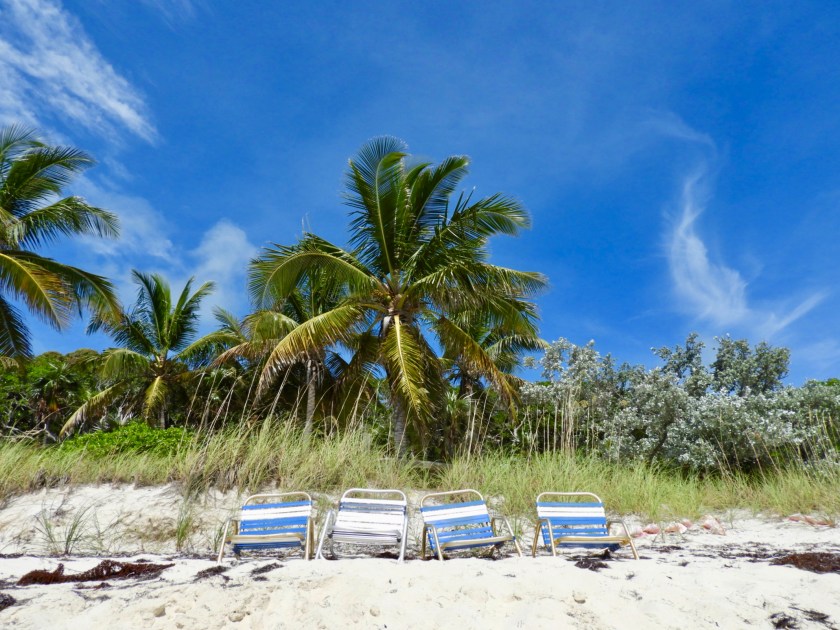
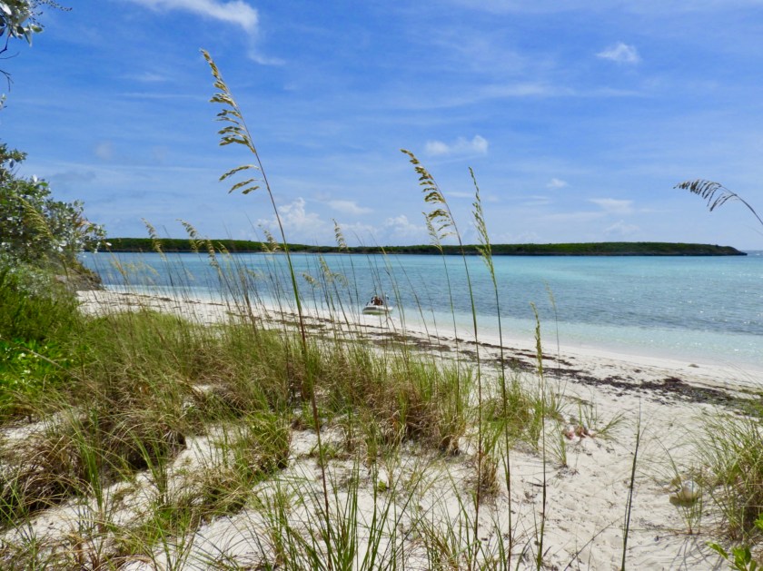
Per Guide Book, it’s a well known picnic area.

I almost stepped on this bird.
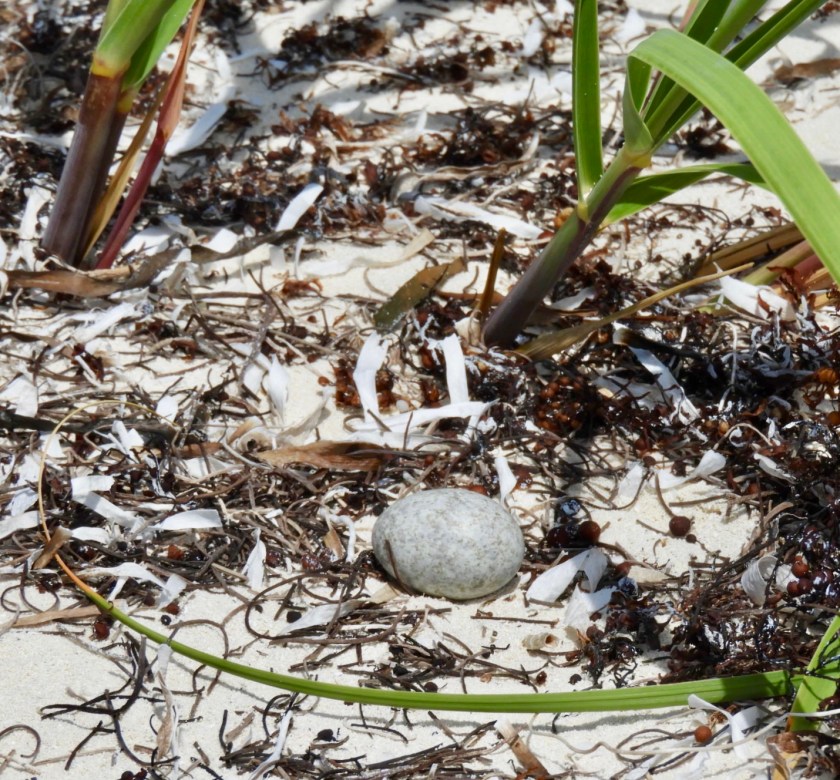
Then I discovered her egg nearby.
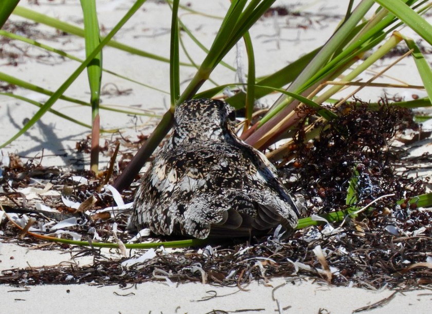
Now she’s back on her egg where she went back into camo mode. (She’s not a killdeer, maybe some sort of plover?)
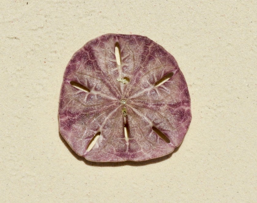
Lots of sand dollars around the island including this purple one.


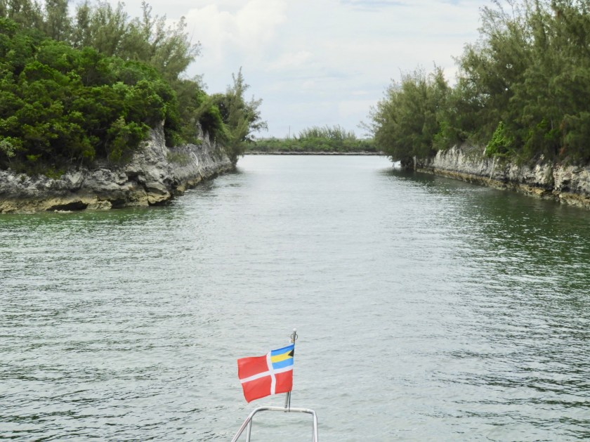
More dinghy exploration led us to Devil’s Cut. Glad we didn’t enter here, looks nasty!

June 11, headed over to Hoffman Cay to find an on island Blue Hole.

Heading into the jungle, well coated with bug spray.


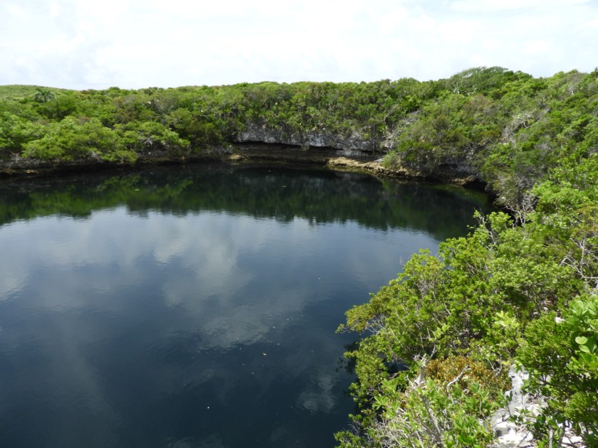
Found it!
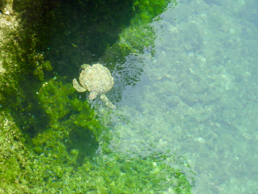

We were surprised to see turtles here. Theory is that they were put there, however, we certainly saw other tropical fish in the hole along with an obvious tidal flow, so there must be a connection to the ocean somewhere.

Bob in a nearby cave that had stalagmites and stalactites.

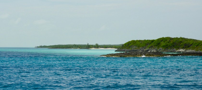
Next day we explored Ambregris Cay which was so shallow we had to travel almost a mile away from the boat to get there. (The dot on the horizon is our boat).


Scenes from Ambregris. If we could cut through here, our next destination would only be 11 miles away. Instead we had to go out and around a series of islands taking about 4 hours. Two hours from Great Harbour Cay Marina our starboard engine overheated (there was a hole in the radiator hosing, and bonus, the impeller burnt out too). So we limped along on one engine.

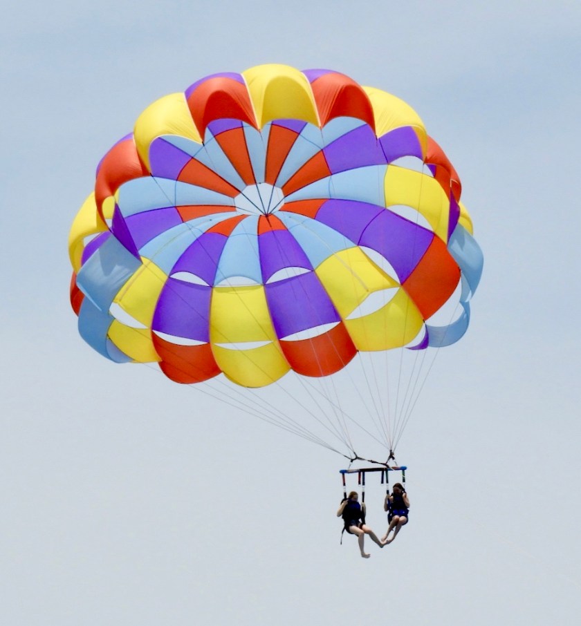
The two islands (Great Stirrup and Little Stirrup) on the most northern most section of the The Berry Islands are owned by cruise ship companies. Passengers are ferried back and forth to the islands and enjoy land based and water based fun.
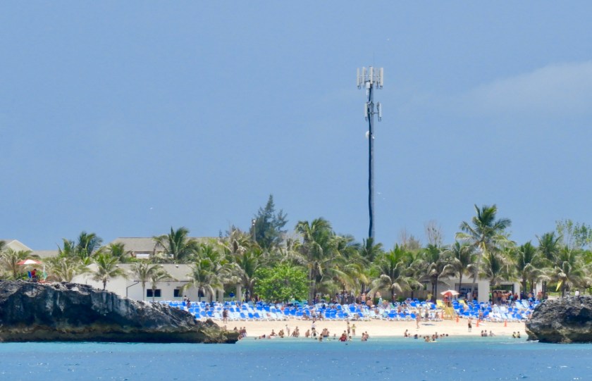
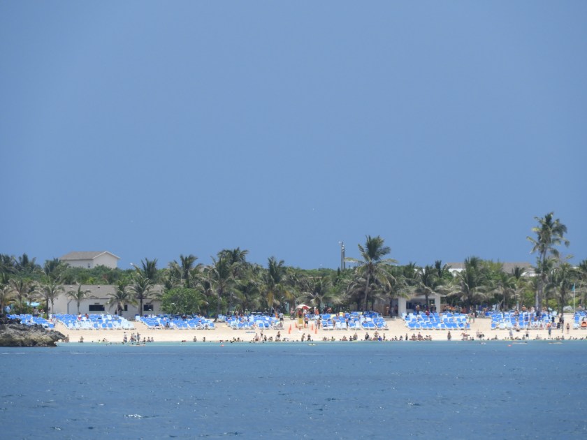


This giant sand mountain was on Little Stirrup Island, looks like a new beach is being created (there is a beach on the other side).

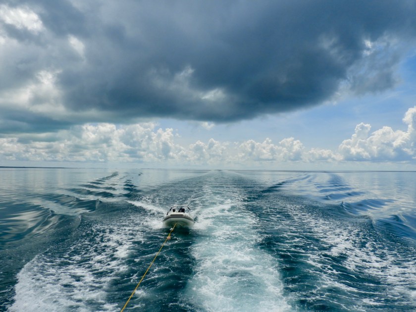
Trying to make some headway before the next storm. Almost everyday there is a thunderstorm.
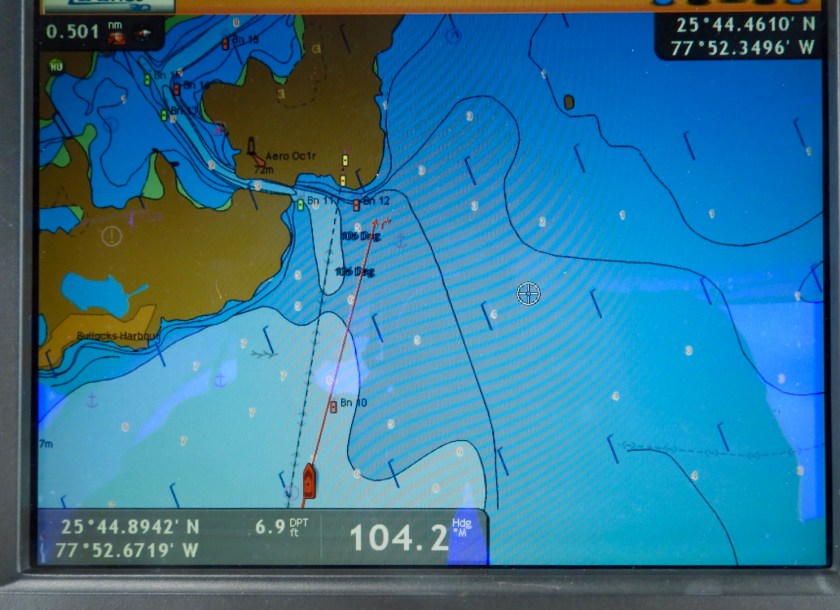
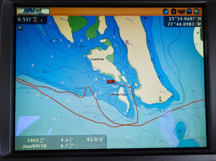
The chart shows a man made cut into Grand Harbour Cay leading to its only marina.
What it looks like in reality.
But there really was a cut. Such a protected harbor, perfect hurricane hole. We wound up staying here 3 days and met some fun sailors.

Rounding the last turn leading into the marina. The round house to the right was a “party” house for the marina. Along with the new folks we met, we were invited by Kimberly (who works in the marina office) to participate in a going away party for one of the staff members. Food-drink-music, who could refuse?
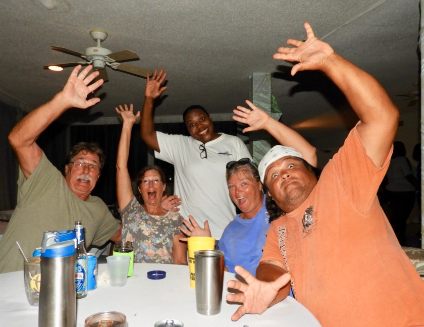
Not these guys: Larry, Sheree, Kimberly, Janice, Marty (Marty turned out to be almost a stand up comedian, had us laughing quite a bit – on the last night he set up an outdoor movie where we watched The Deep. Commentary by our new friends reminded us of the Mystery Science Theater commentary).
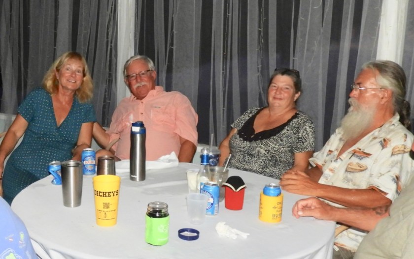
Bob and I, Melissa and Mike.
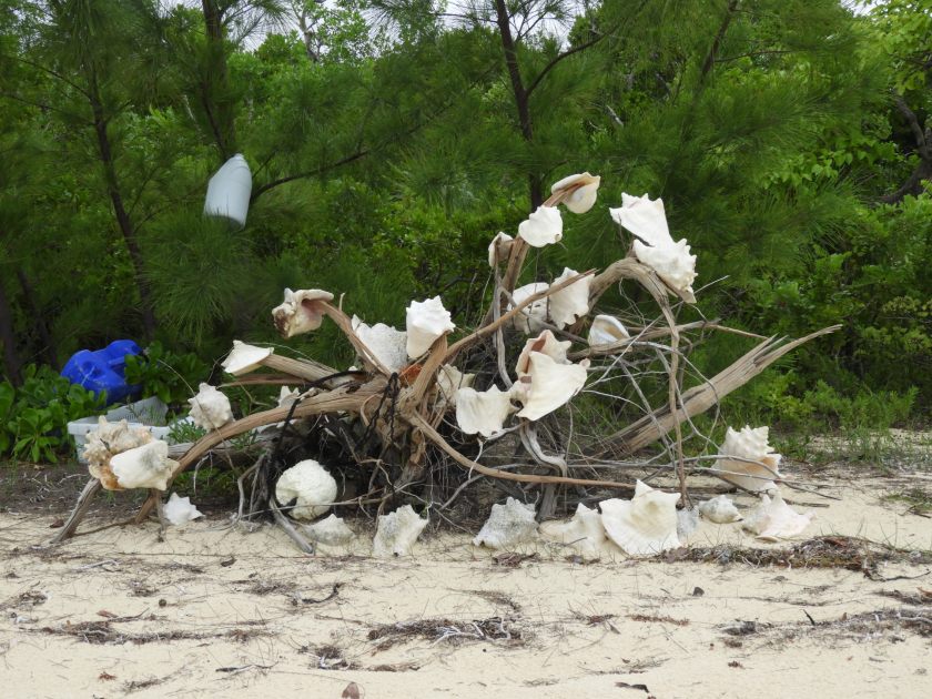
We spent most of the first day fixing the engine (miraculously we had all the parts we needed) so we went out dinghy exploring the next day. Lots of beaches sport beach debris art.
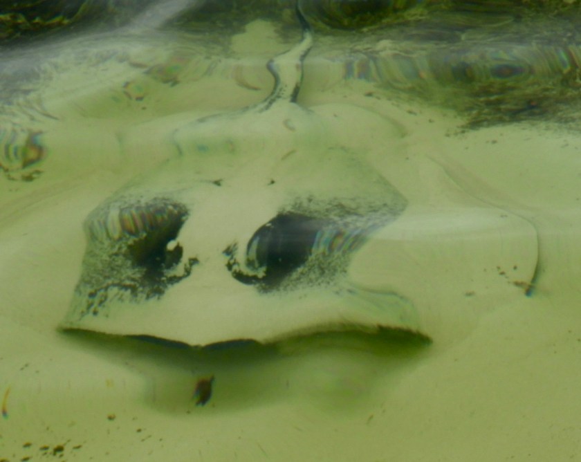
And there’s usually a ray lurking about.
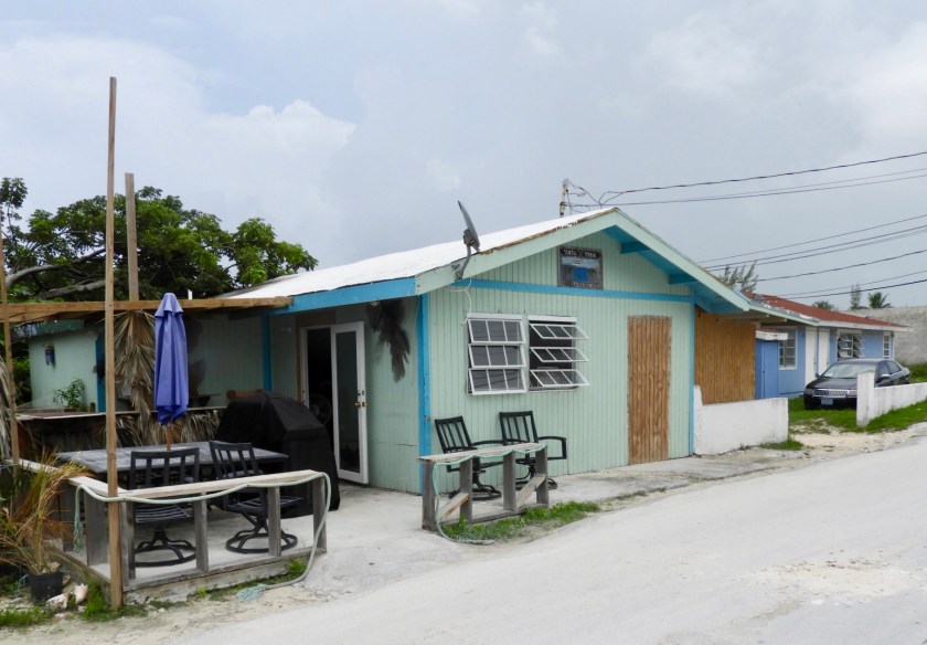
Took the dinghy into the nearby settlement. Had dinner at this restaurant named Until Then. With only 2 tables, we represented 50% capacity. Owners were wonderful and served a great meal.

The Bahama Islands are now dotted with these beautiful red flowered trees that don’t bloom until June.

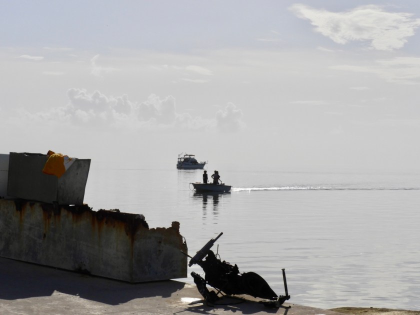
Back in the dinghy we saw this sunken airplane left over from the 1980s drug era.


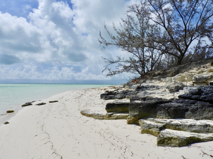
The beach on the Atlantic side goes on for miles and rivals the white sands of Treasure Cay Beach.

Night heron on the beach.

Behind us in the marina were these large stork like birds. They were rather loud for about two hours every day.
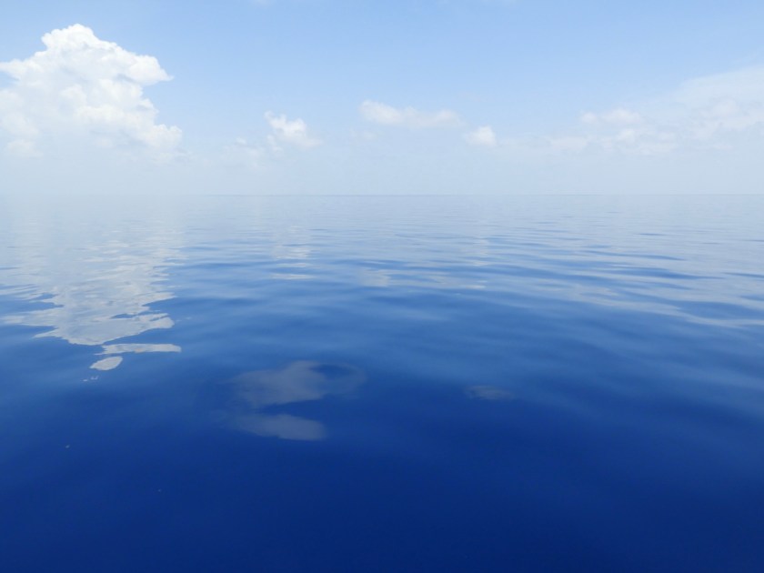
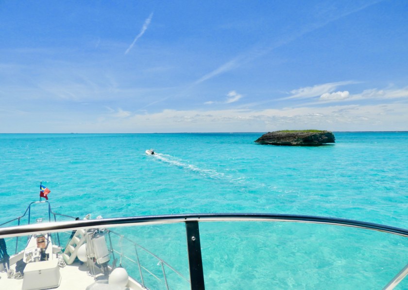
June 15: We left the Berries and headed across the Northwest Providence Channel to the Bight of Abaco. This involved 30+ miles of ocean travel. We had a delightful passage, could have water skied across. This is what 2000 feet of ocean depth looks like.

Entering the Bight by Channel Rock. At least this “lighthouse” had some height to it.

Once inside the Bight (or west side of Abaco Island) the most depth we saw was about 20 feet. With the clarity of the water it felt as if we were gliding by in someone’s swimming pool.
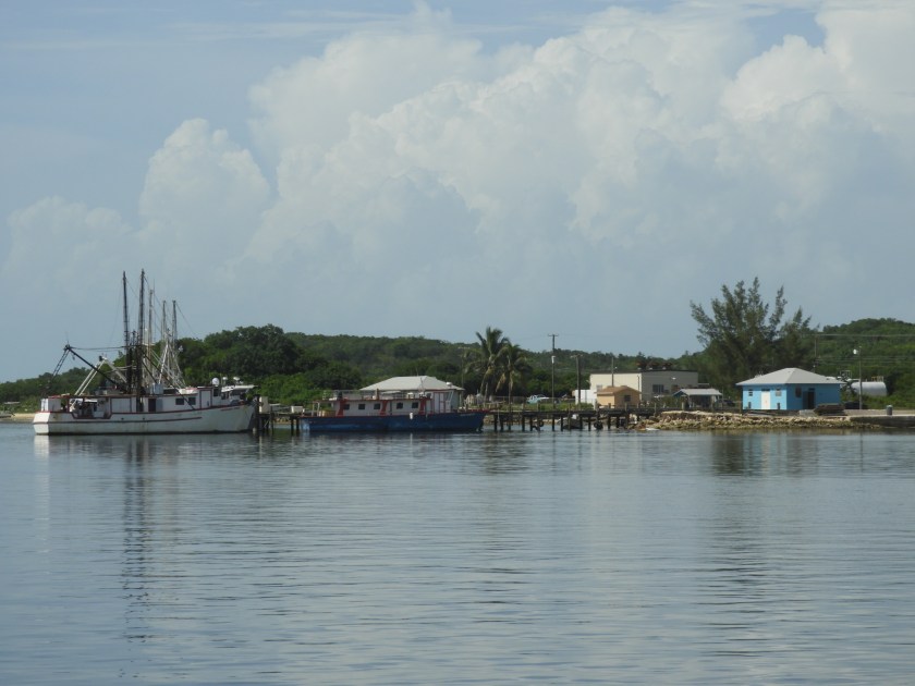
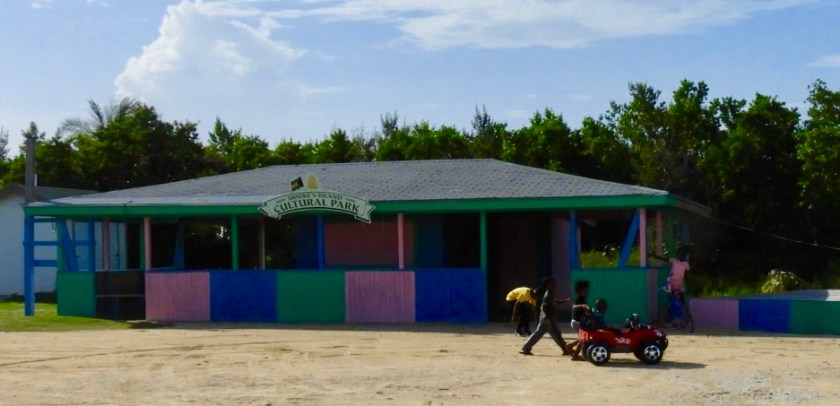
We traveled to Mores Island, an island with two settlements where the main occupation is fishing. This is the settlement of Hard Bargain.

Instead of cars in the driveways, there are boats.
On shore the ubiquitous Hot Wheels.
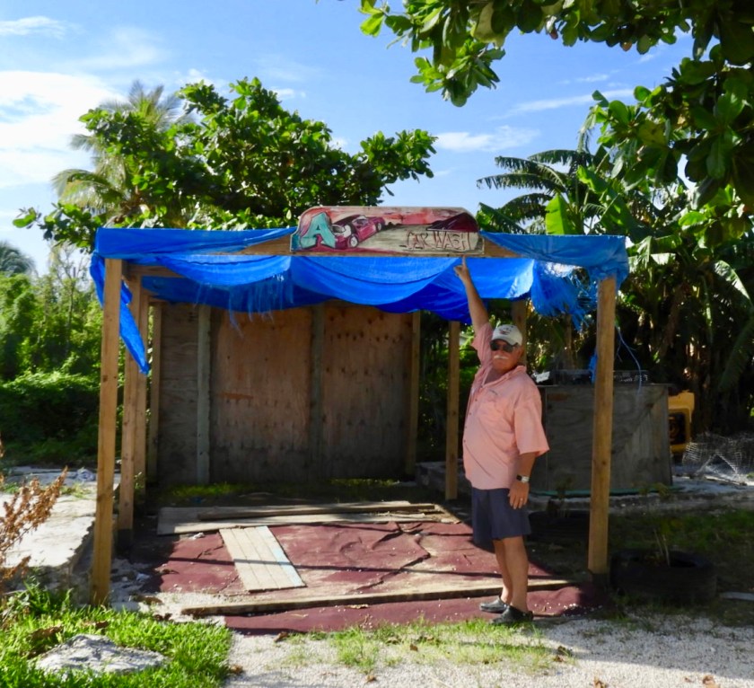
Leave it to Bob to find the only car wash.

The ladies on shore were making take out dinners. We enjoyed them of course.

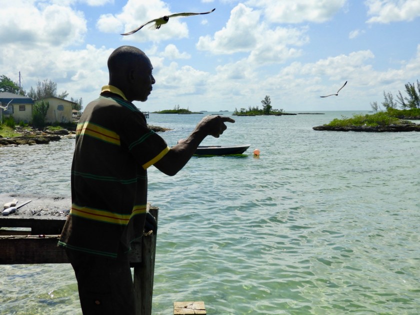
The men on the pier were quite entertaining.
There is actually no harbor here nor marinas for that matter in the Bight. Fortunately there was little to no wind so we felt pretty comfortable anchoring here for the night.

June 16: We moved on to the Joe Downer Cays, but with this line of thunderstorms coming at us, we decided to move to a more protected harbor.
We lost the “dodge the squalls” battle and got quite soaked.
We passed by Basin Harbour Cay which sported the only private house (outside the settlements) in over one hundred miles of travel. The mast represents one of two sailboats we saw outside the settlements.
On the back side of the island we found a fairly protected anchorage among the many small rock islands.
En route to our final anchorage in the Bight, we lost our starboard engine again! Good thing for two engines. This time the fresh water circulating pump failed.

It was no problem to anchor off Cash Cay. Took the dinghy ashore for more exploration.
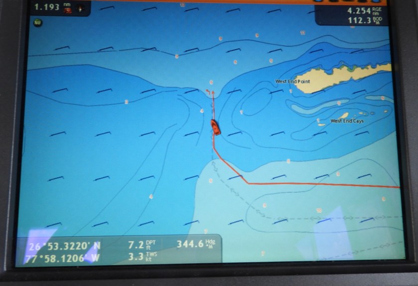
June 18: Left the Bight and headed back into the Sea of Abaco. Chart shows us rounding the tip of Little Abaco (also called West End, just like the tip of Grand Bahama Island).

Only, this West End is less than exciting.

Anchored off Foxtown, a small settlement on northern Abaco Island. Enjoyed yet another wonderful Bahamian meal at Da Valley restaurant.
A nearby fisherman cleaning fish points out to the incoming sharks.


This sea gull thinks twice about competing for the chum with the circling sharks.
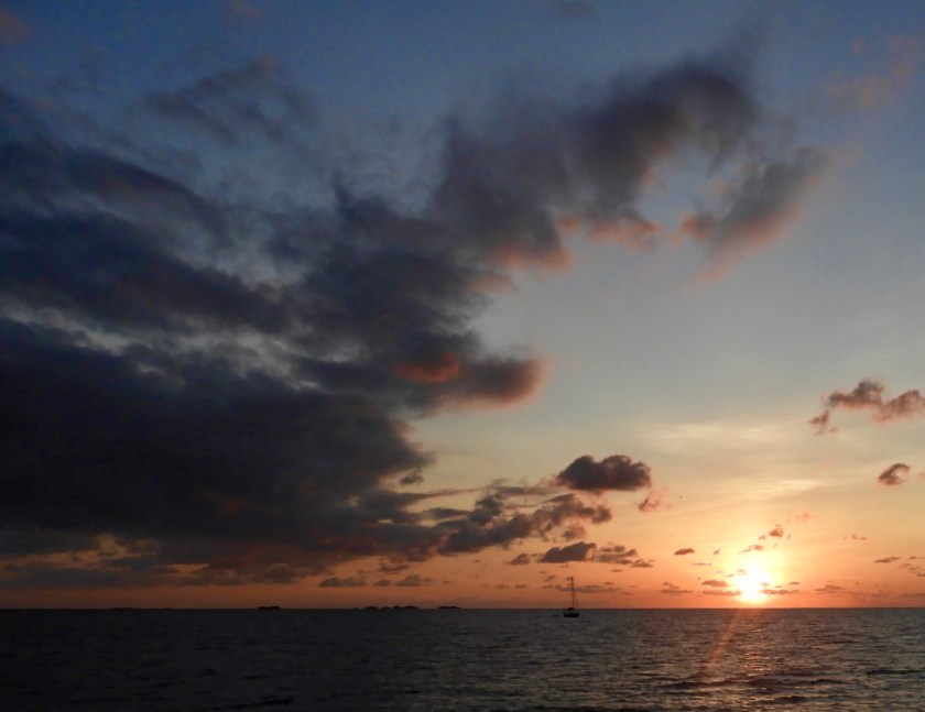
Our backyard at Foxtown. With a bit of an imagination (OK, a lot of imagination), the cloud formation reminded me of a Dr. Seuss leaping reindeer.

Three of five dolphins escorting us out of the narrow Foxtown passageway.
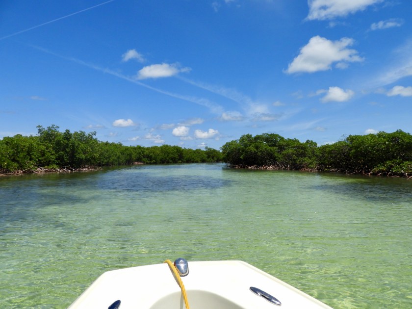
Our original plan was to explore all the northern Abaco Islands heading south back to Marsh Harbour. We had provisioned for another week or so of island hopping. But with only one engine we only stopped at one island (Manjack). We were anxious to get back to Marsh Harbour where we could start the engine repair process. Manjack deserves a full week to explore. Lots of mangrove inlets and foot paths on shore, and several beaches as well. We at least explored one of the mangrove inlets.
And anchored off this lovely beach.
June 20th: We reluctantly headed back to Marsh Harbour using the inside route of the Dont Rock passage (instead of going around The Whale). I went ahead in the dinghy to make sure there was enough depth. When the chart reads “shifting sand” it’s hard to trust the depths. The lowest I saw (at half rising tide) was 4.8 feet.

And just like that, we were back in Marsh Harbour. No issue traveling 80+ miles on just one engine, but relieved to get back to our dock.
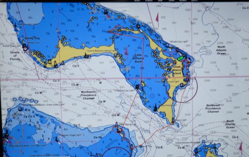
Chart shows our “red track” for the 300 mile circumnavigation. Next up: waiting on a part – hope it arrives by July 1. We’re in a good spot to wait since a section of the annual Abaco Sailing Regatta will take place here in Marsh Harbour.

I miss these sights! Looks like a great cruise to the Berry’s, putting it in our “next time” agenda. Engine trouble…argh! Hope it’s an easy fix and you’re back on the move again soon. We loved Manjack so much👍.
Keep updating, love watching your adventures Islandia!
LikeLiked by 1 person
Just amazing pictures Diane, we love them all. Linda and Gunnar
LikeLiked by 1 person
Great photos, as usual! I hope the engine gets repaired soon 🙏🏻
LikeLiked by 1 person